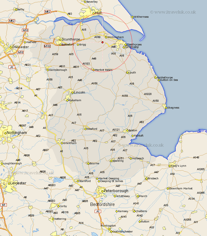
Lincolnshire Map Showing Location of Keelby
Population: 2240
Area Size (ha): 58
District: West Lindsey
Easting: 515883 Northing: 409238
Latitude: 53.57 Longitude: -0.25
 = Keelby
Area Size (ha): 58
District: West Lindsey
Easting: 515883 Northing: 409238
Latitude: 53.57 Longitude: -0.25
= Keelby
This Keelby map below is supplied by Google. Use the tools in the top left corner to zoom into street level or zoom out for a road map, you may also need to zoom in to see Keelby on the map. Click and drag the map to move around. If the map fails to load try and refresh your browser or zoom in or out (+ or -).
Update - it seems Google no longer allow people to use their maps for free! This Keelby map sometimes loads and sometimes gives a error. I am working on a solution.
Closest 30 Towns or Cities to Keelby (Population over 500)
South Killingholme 1.1km Habrough 3.7km Immingham 4.31km Stallingborough 4.77km Healing 5.5km Laceby 6.64km Ulceby 7.82km Barnetby le Wold 9.91km Barnetby 9.91km Caistor 10.27km Nettleton 10.27km Great Coates 11.01km East Halton 11.33km Waltham 11.36km Goxhill 12.4km Holton le Clay 13.33km Grimsby 13.72km Great Grimsby 13.72km Wrawby 14.31km North Kelsey 14.4km Cleethorpes 14.43km Humberston 14.79km Humberstone 14.79km binbrook 15.48km Brigg 15.52km Barrow upon Humber 15.67km Barrow 15.67km Barrow-on-Humber 15.67km Barrow-upon-Humber 15.67km Barrow on Humber 15.67km