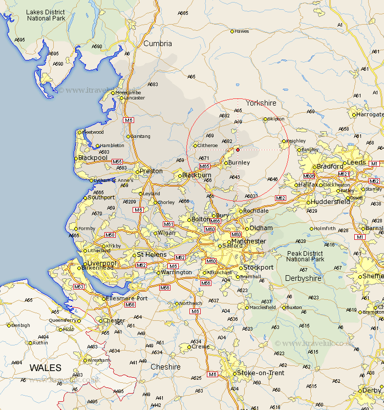
Lancashire Map Showing Location of Colne
Population: 18312
Area Size (ha): 369
District: Pendle
Easting: 389036 Northing: 439343
Latitude: 53.85 Longitude: -2.17
 = Colne
Area Size (ha): 369
District: Pendle
Easting: 389036 Northing: 439343
Latitude: 53.85 Longitude: -2.17
= Colne
This Colne map below is supplied by Google. Use the tools in the top left corner to zoom into street level or zoom out for a road map, you may also need to zoom in to see Colne on the map. Click and drag the map to move around. If the map fails to load try and refresh your browser or zoom in or out (+ or -).
Update - it seems Google no longer allow people to use their maps for free! This Colne map sometimes loads and sometimes gives a error. I am working on a solution.
Closest 30 Towns or Cities to Colne (Population over 500)
Foulridge 1.86km Nelson 2.87km Laneshaw Bridge 3.28km Barrowford 3.28km Kelbrook 3.86km Salterforth 5.56km Brierfield 5.73km Burnley 7.07km Barnoldswick 7.5km Gisburn 11.35km Sabden 11.55km Padiham 12.33km Hapton 12.33km Chatburn 12.58km Altham 13.22km Simonstone 14.14km Grindleton 14.24km Accrington 15.19km Clitheroe 15.41km Bacup 16.72km Waddington 16.81km Whalley 16.82km Clayton-le-Moors 16.98km Clayton le Moor 16.98km Clayton le Moors 16.98km Great Harwood 18.01km Church 18.06km Rawtenstall 18.36km Langho 19.41km Rishton 19.83km