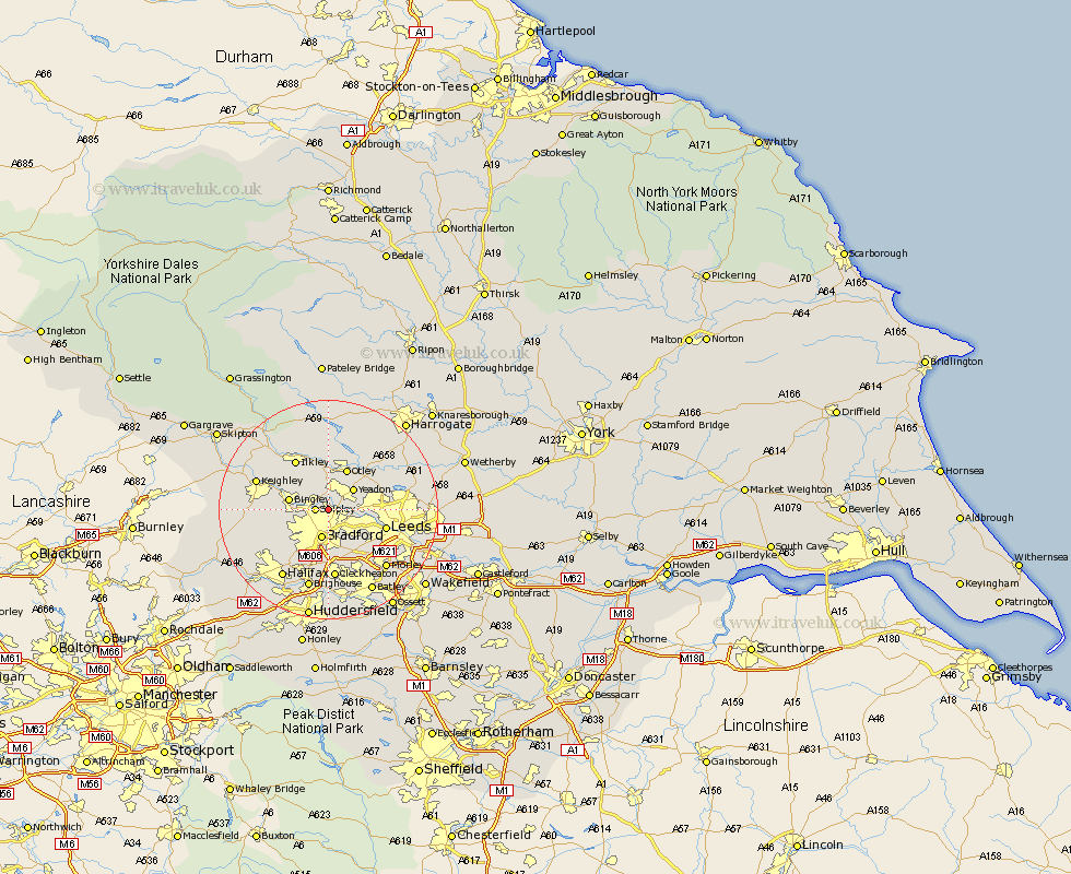
Yorkshire Map Showing Location of Idle
District: Bradford
Easting: 417548 Northing: 437505
Latitude: 53.83 Longitude: -1.73
 = Idle
Easting: 417548 Northing: 437505
Latitude: 53.83 Longitude: -1.73
= Idle
This Idle map below is supplied by Google. Use the tools in the top left corner to zoom into street level or zoom out for a road map, you may also need to zoom in to see Idle on the map. Click and drag the map to move around. If the map fails to load try and refresh your browser or zoom in or out (+ or -).
Update - it seems Google no longer allow people to use their maps for free! This Idle map sometimes loads and sometimes gives a error. I am working on a solution.
Closest 30 Towns or Cities to Idle (Population over 500)
Shipley 2.19km Baildon 2.87km Guiseley 3.87km Menston 5.56km Bradford 5.67km Yeadon 5.74km Horsforth 6.56km Bingley 6.82km Pudsey 7.08km Otley 8.11km Wilsden 8.94km Burley 9.34km Burley in Wharfedale 9.34km Bramhope 9.46km Leeds 10.52km Pool 10.65km Poole 10.65km Pool-in-Wharfedale 10.65km Ilkley 10.76km Cullingworth 11.09km Arthington 11.46km Arthington Junction Station 11.46km Denholme 12.28km Cleckheaton 13.01km Keighley 13.25km Queensbury 14.14km Weeton 14.33km Haworth 14.34km Oxenhope 14.7km Addingham 14.84km