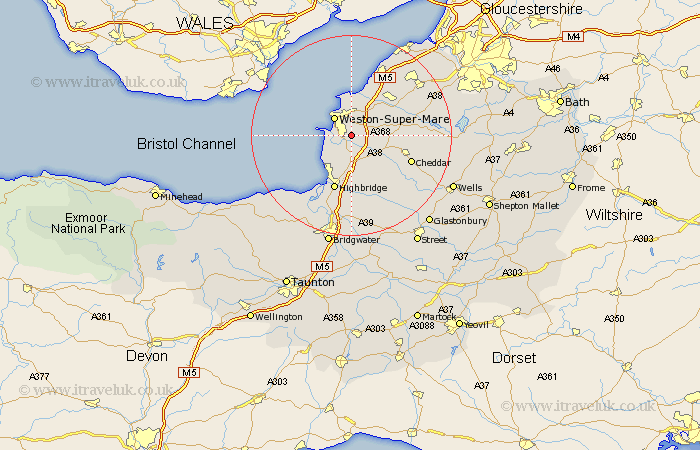
Somerset Map Showing Location of Hutton
Population: 2041
Area Size (ha): 46
Easting: 334962 Northing: 157979
Latitude: 51.32 Longitude: -2.93
 = Hutton
Area Size (ha): 46
Easting: 334962 Northing: 157979
Latitude: 51.32 Longitude: -2.93
= Hutton
This Hutton map below is supplied by Google. Use the tools in the top left corner to zoom into street level or zoom out for a road map, you may also need to zoom in to see Hutton on the map. Click and drag the map to move around. If the map fails to load try and refresh your browser or zoom in or out (+ or -).
Update - it seems Google no longer allow people to use their maps for free! This Hutton map sometimes loads and sometimes gives a error. I am working on a solution.
Closest 30 Towns or Cities to Hutton (Population over 500)
Bleadon 2.19km Lympsham 3.89km Locking 3.93km Banwell 4.63km Weston-Super-Mare 5.08km Brean 6.88km Sandford 7.19km Wick St Lawrence 7.5km Wick Saint Lawrence 7.5km Wick St. Lawrence 7.5km Brent Knoll 7.77km Berrow 8.03km Weare 8.9km Churchill 9.45km Shipham 9.45km Axbridge 9.98km Burnham on Sea 10.37km Burnham 10.37km Burnham-on-Sea 10.37km Congresbury 10.8km Yatton 10.98km Mark 11.36km Highbridge 11.65km Wrington 12.84km Cheddar 12.85km Huntspill 13.43km Priddy 13.76km Wedmore 13.77km Clevedon 14.2km Blagdon 15.17km