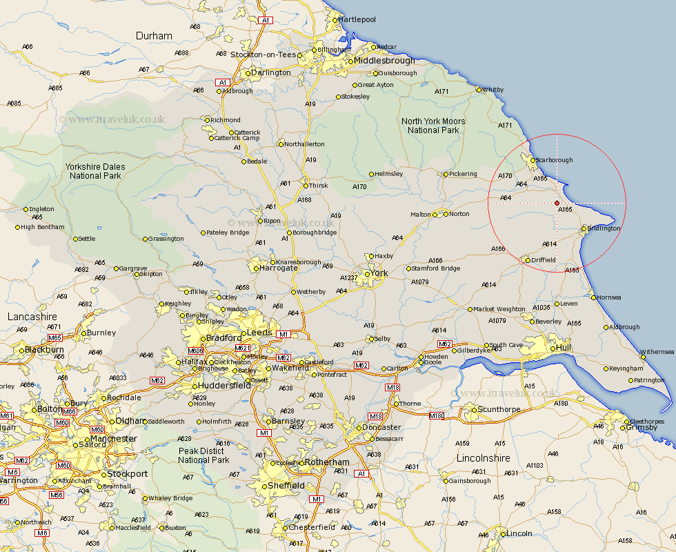
Yorkshire Map Showing Location of Hunmanby
Population: 2967
Area Size (ha): 100
District: Scarborough
Easting: 509884 Northing: 475872
Latitude: 54.17 Longitude: -0.32
 = Hunmanby
Area Size (ha): 100
District: Scarborough
Easting: 509884 Northing: 475872
Latitude: 54.17 Longitude: -0.32
= Hunmanby
This Hunmanby map below is supplied by Google. Use the tools in the top left corner to zoom into street level or zoom out for a road map, you may also need to zoom in to see Hunmanby on the map. Click and drag the map to move around. If the map fails to load try and refresh your browser or zoom in or out (+ or -).
Update - it seems Google no longer allow people to use their maps for free! This Hunmanby map sometimes loads and sometimes gives a error. I am working on a solution.
Closest 30 Towns or Cities to Hunmanby (Population over 500)
Hunmanby 0km Filey 5.14km Cayton 8.09km Willerby 8.87km Eastfield 9.18km Bempton 10.45km Seamer 10.6km Great Driffield 10.62km Bridlington 10.66km Sherburn 13.02km Kilham 13.38km Scarborough 14.82km Flamborough 14.99km Scalby 15.02km Brompton 16.17km Nafferton 17.24km Snainton 18.22km Burniston 18.32km Driffield 19.35km Yedingham 19.87km Cloughton 20.02km Beeford 22.48km Skipsea 23.18km Dunnington 24.49km Wetwang 24.69km North Frodingham 24.76km Rillington 25.03km Cranswick 25.27km Thornton-le-Dale 27.05km Thornton Dale 27.05km