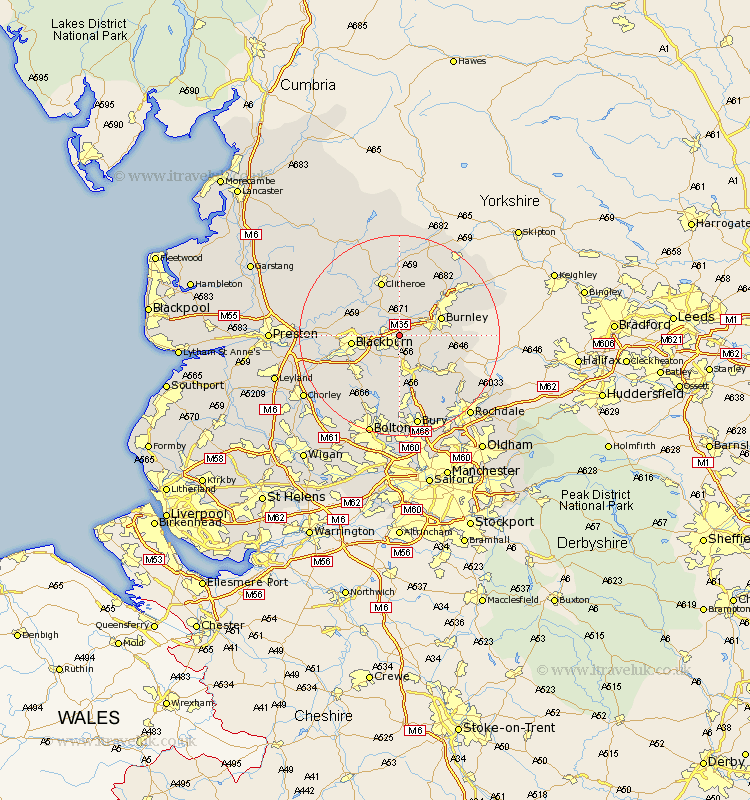
Lancashire Map Showing Location of Huncoat
District: Hyndburn
Easting: 376931 Northing: 430120
Latitude: 53.77 Longitude: -2.35
 = Huncoat
Easting: 376931 Northing: 430120
Latitude: 53.77 Longitude: -2.35
= Huncoat
This Huncoat map below is supplied by Google. Use the tools in the top left corner to zoom into street level or zoom out for a road map, you may also need to zoom in to see Huncoat on the map. Click and drag the map to move around. If the map fails to load try and refresh your browser or zoom in or out (+ or -).
Update - it seems Google no longer allow people to use their maps for free! This Huncoat map sometimes loads and sometimes gives a error. I am working on a solution.
Closest 30 Towns or Cities to Huncoat (Population over 500)
Simonstone 1.85km Altham 2.15km Clayton-le-Moors 2.19km Clayton le Moor 2.19km Clayton le Moors 2.19km Padiham 2.86km Hapton 2.86km Church 2.87km Great Harwood 4.75km Rishton 4.76km Oswaldtwistle 4.96km Sabden 5.67km Whalley 7.08km Haslingden 7.5km Langho 7.54km Burnley 8.51km Rawtenstall 8.62km Wilpshire 8.95km Blackburn 8.96km Brierfield 9.47km Darwen 10.67km Clitheroe 11.59km Edenfield 11.6km Mellor 12.05km Nelson 12.32km Ribchester 12.6km Barrowford 12.75km Chatburn 12.96km Bacup 13.24km Waddington 13.68km