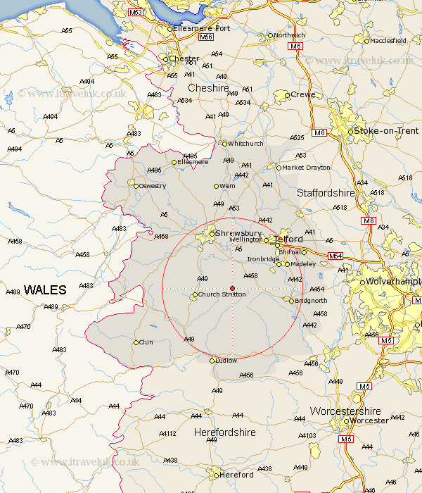
Shropshire Map Showing Location of Hughley
Population: 59
District: Shrewsbury and Atcham
Easting: 355947 Northing: 296779
Latitude: 52.57 Longitude: -2.65
 = Hughley
District: Shrewsbury and Atcham
Easting: 355947 Northing: 296779
Latitude: 52.57 Longitude: -2.65
= Hughley
This Hughley map below is supplied by Google. Use the tools in the top left corner to zoom into street level or zoom out for a road map, you may also need to zoom in to see Hughley on the map. Click and drag the map to move around. If the map fails to load try and refresh your browser or zoom in or out (+ or -).
Update - it seems Google no longer allow people to use their maps for free! This Hughley map sometimes loads and sometimes gives a error. I am working on a solution.
Closest 30 Towns or Cities to Hughley (Population over 500)
Rushbury 7.16km Much Wenlock 7.7km Cressage 7.74km Ditton Priors 9.31km Berrington 9.86km Church Stretton 10.31km Condover 11.46km Diddlebury 12km Broseley 12.56km Barrow Bridge 12.93km Barrow 12.93km Baystonhill 13.01km Ironbridge 14.43km Wrockwardine 15.85km Bridgnorth 16.21km Madeley 16.4km Dawley 16.64km Great Hanwood 17.17km Hanwood 17.17km Wellington 17.34km Wistanstow 17.52km Shrewsbury 17.6km Telford 17.87km Pontesbury 18.28km Bitterley 18.54km Hadley 18.61km Ketley 18.61km Rodington 18.66km Worfield 19.24km Craven Arms 19.34km