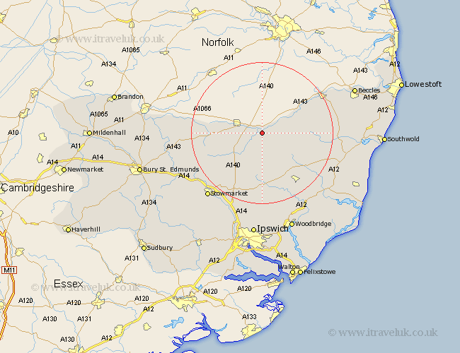
Suffolk Map Showing Location of Hoxne
Population: 813
District: Mid Suffolk
Easting: 617914 Northing: 277299
Latitude: 52.35 Longitude: 1.2
 = Hoxne
District: Mid Suffolk
Easting: 617914 Northing: 277299
Latitude: 52.35 Longitude: 1.2
= Hoxne
This Hoxne map below is supplied by Google. Use the tools in the top left corner to zoom into street level or zoom out for a road map, you may also need to zoom in to see Hoxne on the map. Click and drag the map to move around. If the map fails to load try and refresh your browser or zoom in or out (+ or -).
Update - it seems Google no longer allow people to use their maps for free! This Hoxne map sometimes loads and sometimes gives a error. I am working on a solution.
Closest 30 Towns or Cities to Hoxne (Population over 500)
Hoxne 0km Eye 5.02km Stradbroke 5.85km Fressingfield 6.79km Thorndon 8.69km Worlingworth 9.87km Wortham 10.19km Dennington 11.49km Gislingham 11.61km Botesdale 12.59km Laxfield 12.62km Redgrave 13.71km Mendlesham 14.35km Debenham 14.86km Bacton 15.53km Framlingham 17.38km Cookley 17.39km Hopton 18.2km Hepworth 19.34km Old Newton 19.37km Bungay 20.28km Barningham 20.38km Halesworth 20.38km Badwell Ash 20.64km Stanton 20.72km Haughley 20.9km Holton 21.59km Otley 22.35km Elmswell 23.23km Yoxford 23.44km