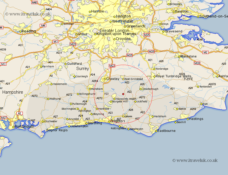
Sussex Map Showing Location of Horsted Keynes
Population: 1507
District: Mid Sussex
Easting: 539100 Northing: 126078
Latitude: 51.02 Longitude: -0.02
 = Horsted Keynes
District: Mid Sussex
Easting: 539100 Northing: 126078
Latitude: 51.02 Longitude: -0.02
= Horsted Keynes
This Horsted Keynes map below is supplied by Google. Use the tools in the top left corner to zoom into street level or zoom out for a road map, you may also need to zoom in to see Horsted Keynes on the map. Click and drag the map to move around. If the map fails to load try and refresh your browser or zoom in or out (+ or -).
Update - it seems Google no longer allow people to use their maps for free! This Horsted Keynes map sometimes loads and sometimes gives a error. I am working on a solution.
Closest 30 Towns or Cities to Horsted Keynes (Population over 500)
Lindfield 3.96km Ardingly 5.01km Fletching 5.1km Newick 6.03km Haywards Heath 6.91km Baywards Heath 6.91km Forest Row 7.5km Chailey 7.77km Balcombe 7.91km Maresfield 7.92km South Nutfield 8.16km Cuckfield 8.16km Turners Hill 8.75km Wivelsfield 8.76km Uckfield 9.88km Burgess Hill 9.88km Isfield 10.96km East Grinstead 11.12km Buxted 11.13km Hartfield 11.91km Crowborough 12.23km Worth 12.34km Ditchelling 12.56km Ditchling 12.56km Withyham 12.84km Framfield 12.86km Slaugham 12.95km Botney 13.36km Bolney 13.36km Barcombe Mills Station 13.44km