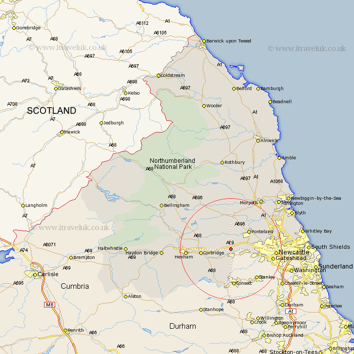
Northumberland Map Showing Location of Horsley
Population: 359
District: Tynedale
Easting: 409598 Northing: 565429
Latitude: 54.98 Longitude: -1.85
 = Horsley
District: Tynedale
Easting: 409598 Northing: 565429
Latitude: 54.98 Longitude: -1.85
= Horsley
This Horsley map below is supplied by Google. Use the tools in the top left corner to zoom into street level or zoom out for a road map, you may also need to zoom in to see Horsley on the map. Click and drag the map to move around. If the map fails to load try and refresh your browser or zoom in or out (+ or -).
Update - it seems Google no longer allow people to use their maps for free! This Horsley map sometimes loads and sometimes gives a error. I am working on a solution.
Closest 30 Towns or Cities to Horsley (Population over 500)
Wylam 1.85km Ovingham 2.13km Prudhoe 3.7km Stamfordham 5.66km Stocksfield 7km Newburn 7.67km Riding 9.29km Ridingmill 9.29km Ponteland 9.78km Corbridge 10.8km Woolsington 11.26km Sandhoe 12.76km Dinnington 12.96km Slaley 14.93km Gosforth 15km Acomb 15.95km Hexham 16.06km Newcastle-on-Tyne 16.06km Newcastle 16.06km Newcastle on Tyne 16.06km Newcastle upon Tyne 16.06km Chollerton 16.88km Challerton 16.88km Stannington 17.46km Warden 18.08km Long Benton 18.17km Longbenton 18.17km Wallsend 18.54km Wallsend-on-Tyne 18.54km Wallsend on Tyne 18.54km