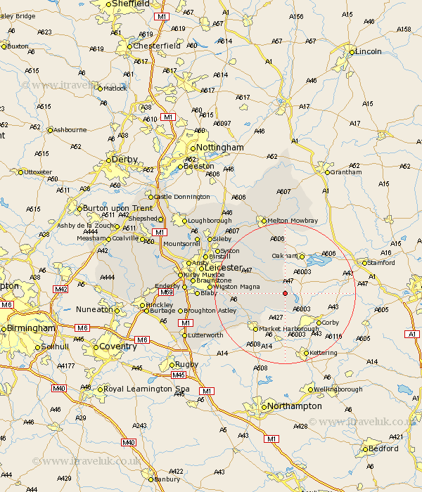
Leicestershire Map Showing Location of Horninghold
Population: 79
District: Harborough
Easting: 481326 Northing: 297257
Latitude: 52.57 Longitude: -0.8
 = Horninghold
District: Harborough
Easting: 481326 Northing: 297257
Latitude: 52.57 Longitude: -0.8
= Horninghold
This Horninghold map below is supplied by Google. Use the tools in the top left corner to zoom into street level or zoom out for a road map, you may also need to zoom in to see Horninghold on the map. Click and drag the map to move around. If the map fails to load try and refresh your browser or zoom in or out (+ or -).
Update - it seems Google no longer allow people to use their maps for free! This Horninghold map sometimes loads and sometimes gives a error. I am working on a solution.
Closest 30 Towns or Cities to Horninghold (Population over 500)
Hallaton 2.92km Great Easton 6.51km Billesdon 9.74km Somerby 11.34km Bowden 11.48km Great Bowden 11.48km Kibworth Harcourt 12.94km Kibworth 12.94km Houghton 13.57km Houghton on the Hill 13.57km Houghton-on-the-Hill 13.57km Twyford 13.63km Market Harborough 13.64km Lubenham 15.05km Great Glen 15.77km Gaddesby 18.61km Oadby 19.23km Wigston 20.36km Wigston Magna 20.36km Queniboro 20.4km Queniborough 20.4km Wymondham 20.87km Husbands Bosworth 21.32km Glen Parka 21.4km Glen Parva 21.4km Frisby 21.67km Frisby on the Wreak 21.67km Frisby-on-the-Wreak 21.67km Syston 22.18km Countesthorpe 22.61km