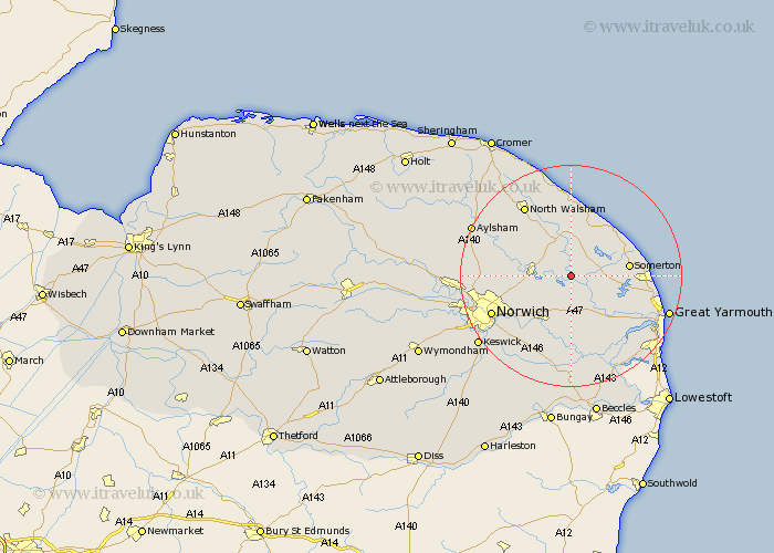
Norfolk Map Showing Location of Horning
Population: 1033
District: North Norfolk
Easting: 636449 Northing: 317155
Latitude: 52.7 Longitude: 1.5
 = Horning
District: North Norfolk
Easting: 636449 Northing: 317155
Latitude: 52.7 Longitude: 1.5
= Horning
This Horning map below is supplied by Google. Use the tools in the top left corner to zoom into street level or zoom out for a road map, you may also need to zoom in to see Horning on the map. Click and drag the map to move around. If the map fails to load try and refresh your browser or zoom in or out (+ or -).
Update - it seems Google no longer allow people to use their maps for free! This Horning map sometimes loads and sometimes gives a error. I am working on a solution.
Closest 30 Towns or Cities to Horning (Population over 500)
Ludham 2.25km Neatishead 4.33km Catfield 4.33km Potter Heigham 4.86km Beeston St. Lawrence 5km Beeston St Lawrence 5km Beeston 5km Beeston Saint Lawrence 5km Salhouse 5.92km Sutton 6km South Walsham 6km Hoveton 6.43km Upton 6.5km Wroxham 6.74km Stalham 7.5km Martham 7.86km Hickling 7.9km Acle 8.14km Smallburgh 8.14km Great Plumstead 8.74km Rackheath 9.18km Lingwood 9.33km Coltishall 9.72km Blofield 9.86km Horstead 10.27km Worstead 10.29km Brundall 10.3km Rollesby 11.39km Spixworth 11.83km Little Hautbois 12.53km