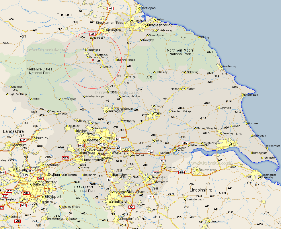
Yorkshire Map Showing Location of Hornby
District: Richmondshire
Easting: 421672 Northing: 493149
Latitude: 54.33 Longitude: -1.67
 = Hornby
Easting: 421672 Northing: 493149
Latitude: 54.33 Longitude: -1.67
= Hornby
This Hornby map below is supplied by Google. Use the tools in the top left corner to zoom into street level or zoom out for a road map, you may also need to zoom in to see Hornby on the map. Click and drag the map to move around. If the map fails to load try and refresh your browser or zoom in or out (+ or -).
Update - it seems Google no longer allow people to use their maps for free! This Hornby map sometimes loads and sometimes gives a error. I am working on a solution.
Closest 30 Towns or Cities to Hornby (Population over 500)
Catterick 4.29km Crakehall 4.92km Scorton 7.04km Bedale 7.76km Richmond 8.58km Leyburn 10.41km North Cowton 10.59km Middleham 11.21km Gilling 11.58km Cowton 12.67km East Cowton 12.67km Masham 13.01km Middleton Tyas 13.02km Barton 14.87km Northallerton 15.13km West Tanfield 16.18km Tanfield 16.18km Brompton 16.31km Melsonby 16.71km Grewelthorpe 16.71km Kirkby Malzeard 18.56km Bradley 23.4km Osmotherley 24.05km Topcliffe 24.84km Thirsk 25.23km Ripon 25.98km Dishforth 26.06km Whorlton 28.54km Bewerley 28.55km Bishop Monkton 29.84km