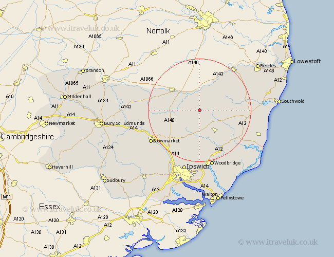
Suffolk Map Showing Location of Horham
Population: 303
District: Mid Suffolk
Easting: 621568 Northing: 271892
Latitude: 52.3 Longitude: 1.25
 = Horham
District: Mid Suffolk
Easting: 621568 Northing: 271892
Latitude: 52.3 Longitude: 1.25
= Horham
This Horham map below is supplied by Google. Use the tools in the top left corner to zoom into street level or zoom out for a road map, you may also need to zoom in to see Horham on the map. Click and drag the map to move around. If the map fails to load try and refresh your browser or zoom in or out (+ or -).
Update - it seems Google no longer allow people to use their maps for free! This Horham map sometimes loads and sometimes gives a error. I am working on a solution.
Closest 30 Towns or Cities to Horham (Population over 500)
Stradbroke 2.18km Worlingworth 3.7km Dennington 5.03km Fressingfield 6.52km Hoxne 6.52km Eye 7.05km Laxfield 7.93km Thorndon 8.15km Debenham 10.31km Framlingham 10.86km Gislingham 13.6km Mendlesham 13.66km Cookley 13.72km Wortham 14.69km Botesdale 16.29km Bacton 16.3km Otley 16.72km Halesworth 17.88km Old Newton 18.38km Wickham Market 18.48km Holton 18.5km Yoxford 18.51km Redgrave 18.54km Saxmundham 19.37km Haughley 20.38km Wenhaston 20.48km Coddenham 20.64km Snape 21.4km Henley 21.49km Ufford 21.49km