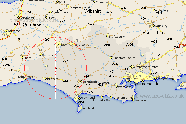
Dorset Map Showing Location of Hook
Population: 118
District: West Dorset
Easting: 353023 Northing: 100323
Latitude: 50.8 Longitude: -2.67
 = Hook
District: West Dorset
Easting: 353023 Northing: 100323
Latitude: 50.8 Longitude: -2.67
= Hook
This Hook map below is supplied by Google. Use the tools in the top left corner to zoom into street level or zoom out for a road map, you may also need to zoom in to see Hook on the map. Click and drag the map to move around. If the map fails to load try and refresh your browser or zoom in or out (+ or -).
Update - it seems Google no longer allow people to use their maps for free! This Hook map sometimes loads and sometimes gives a error. I am working on a solution.
Closest 30 Towns or Cities to Hook (Population over 500)
Beaminster 5.86km Netherbury 6.14km Maiden Newton 7.95km Loders 8.21km Bradpole 8.77km Mosterton 8.96km Broadwindsor 9.55km Broadwinsor 9.55km Bridport 9.75km Leigh 11.05km Burton Bradstock 11.66km Yetminster 13.15km Chideock 14.04km Cerne Abbas 14.06km Bradford Abbas 14.23km Thorncombe 15.34km Abbotsbury 15.55km Buckland Newton 15.67km Portisham 16.41km Portesham 16.41km Charminster 16.95km Puddletrenthide 17.67km Piddletrenthide 17.67km Charmouth 18.01km Dorchester 18.85km Lyme Regis 20.17km Sherbourne 20.37km Sherborne 20.37km Bincombe 22.6km Piddletown 22.95km