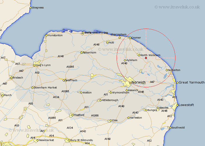
Norfolk Map Showing Location of Honing
Population: 319
District: North Norfolk
Easting: 632539 Northing: 328109
Latitude: 52.8 Longitude: 1.45
 = Honing
District: North Norfolk
Easting: 632539 Northing: 328109
Latitude: 52.8 Longitude: 1.45
= Honing
This Honing map below is supplied by Google. Use the tools in the top left corner to zoom into street level or zoom out for a road map, you may also need to zoom in to see Honing on the map. Click and drag the map to move around. If the map fails to load try and refresh your browser or zoom in or out (+ or -).
Update - it seems Google no longer allow people to use their maps for free! This Honing map sometimes loads and sometimes gives a error. I am working on a solution.
Closest 30 Towns or Cities to Honing (Population over 500)
Worstead 2.17km Smallburgh 3.7km North Walsham 4.85km Walcott 5km Bacton 5.67km Stalham 5.81km Trunch 6.5km Beeston St Lawrence 7.42km Beeston St. Lawrence 7.42km Beeston Saint Lawrence 7.42km Beeston 7.42km Neatishead 7.5km Mundesley 7.75km Mundersley 7.75km Felmingham 7.84km Sutton 7.89km Happisburgh 8.06km Coltishall 9.29km Catfield 9.3km Little Hautbois 9.62km Lammas 9.62km Lamas Little Hautbois 9.62km Hickling 10.55km Hoveton 11.38km Horstead 11.45km Horning 11.62km Wroxham 11.62km Potter Heigham 12.14km Ludham 12.45km Salhouse 13.17km