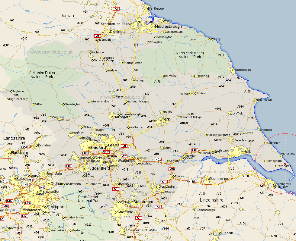
Yorkshire Map Showing Location of Holmpton
Population: 193
Easting: 536473 Northing: 422769
Latitude: 53.68 Longitude: 0.07
 = Holmpton
Easting: 536473 Northing: 422769
Latitude: 53.68 Longitude: 0.07
= Holmpton
This Holmpton map below is supplied by Google. Use the tools in the top left corner to zoom into street level or zoom out for a road map, you may also need to zoom in to see Holmpton on the map. Click and drag the map to move around. If the map fails to load try and refresh your browser or zoom in or out (+ or -).
Update - it seems Google no longer allow people to use their maps for free! This Holmpton map sometimes loads and sometimes gives a error. I am working on a solution.
Closest 30 Towns or Cities to Holmpton (Population over 500)
Easington 3.78km Patrington 5.79km Withernsea 5.98km Ottringham 10.05km Roos 10.67km Keyingham 12.21km Burstwick 14.29km Burton Pidsea 14.36km Thorngumbald 15.8km Thorngumbold 15.8km Walkington 16.7km Hedon 17.37km Aldbrough 19.11km Preston 19.84km Sproatley 19.85km Paull 20.09km Skirlaugh Station 25.56km Kingston upon Hull 26.59km Hull 27.56km Sutton 27.56km Sutton-on-Hull 27.56km Sutton on Hull 27.56km Hornsea 28.56km Wawne 30.32km Cottingham 31.62km Barton upon Humber 32.93km Barton 32.93km Woodmansey 33.1km Hessle 33.12km Anlaby 33.38km