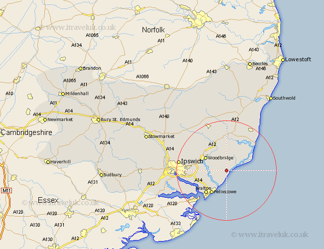
Suffolk Map Showing Location of Hollesley
Population: 1356
District: Suffolk Coastal
Easting: 635380 Northing: 244678
Latitude: 52.05 Longitude: 1.43
 = Hollesley
District: Suffolk Coastal
Easting: 635380 Northing: 244678
Latitude: 52.05 Longitude: 1.43
= Hollesley
This Hollesley map below is supplied by Google. Use the tools in the top left corner to zoom into street level or zoom out for a road map, you may also need to zoom in to see Hollesley on the map. Click and drag the map to move around. If the map fails to load try and refresh your browser or zoom in or out (+ or -).
Update - it seems Google no longer allow people to use their maps for free! This Hollesley map sometimes loads and sometimes gives a error. I am working on a solution.
Closest 30 Towns or Cities to Hollesley (Population over 500)
Sutton 5.99km Rendlesham 7.5km Orford 7.77km Tunstall 9.33km Ufford 9.35km Melton 9.72km Woodbridge 9.72km Kirton 9.73km Kirkton 9.73km Martlesham 9.84km Martlesham Heath 10.42km Felixstowe 10.88km Wickham Market 12.02km Walton 12.08km Bucklesham 12.68km Grundisburgh 13.71km Nacton 14.17km Snape 15.51km Shotley 15.6km Aldeburgh 15.91km Chelmondiston 16.58km Otley 17.62km Witnesham 17.97km Wirnesham 17.97km Thorpeness 18.03km Thorpe 18.03km Ipswich 18.6km Leiston 19km Saxmundham 19.09km Holbrook 19.7km