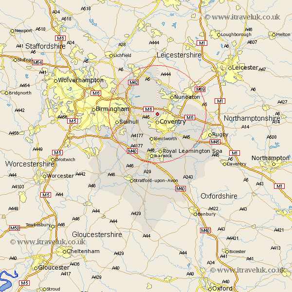
Warwickshire Map Showing Location of Corley
Population: 770
District: North Warwickshire
Easting: 430579 Northing: 283696
Latitude: 52.45 Longitude: -1.55
 = Corley
District: North Warwickshire
Easting: 430579 Northing: 283696
Latitude: 52.45 Longitude: -1.55
= Corley
This Corley map below is supplied by Google. Use the tools in the top left corner to zoom into street level or zoom out for a road map, you may also need to zoom in to see Corley on the map. Click and drag the map to move around. If the map fails to load try and refresh your browser or zoom in or out (+ or -).
Update - it seems Google no longer allow people to use their maps for free! This Corley map sometimes loads and sometimes gives a error. I am working on a solution.
Closest 30 Towns or Cities to Corley (Population over 500)
Keresley 2.17km Fillongley 2.92km Allesley 3.7km Coventry 3.7km Meriden 4.89km Bedworth 5.94km Arley 6km Shustoke 7.92km Berkeswell 7.93km Berkswell 7.93km Bulkington 9.22km Nuneaton 9.32km Shilton 10.16km Baginton 10.31km Hampton in Arden 10.82km Bickenhill 11.3km Kenilworth 11.35km Stoneleigh 11.35km Nether Whitacre 11.47km Coleshill 11.58km Hurley 12.47km Temple Balsall 12.95km Wolvey 12.96km Atherstone 12.98km Mancetter 13.17km Water Orton 13.61km Brandon 13.76km Bubbenhall 14.15km Kingsbury 14.32km Knowle 14.48km