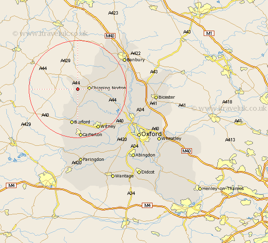
Oxfordshire Map Showing Location of Cornwell
Population: 66
District: West Oxfordshire
Easting: 427498 Northing: 226211
Latitude: 51.93 Longitude: -1.6
 = Cornwell
District: West Oxfordshire
Easting: 427498 Northing: 226211
Latitude: 51.93 Longitude: -1.6
= Cornwell
This Cornwell map below is supplied by Google. Use the tools in the top left corner to zoom into street level or zoom out for a road map, you may also need to zoom in to see Cornwell on the map. Click and drag the map to move around. If the map fails to load try and refresh your browser or zoom in or out (+ or -).
Update - it seems Google no longer allow people to use their maps for free! This Cornwell map sometimes loads and sometimes gives a error. I am working on a solution.
Closest 30 Towns or Cities to Cornwell (Population over 500)
Churchill 3.88km Kingham 3.88km Chipping Norton 4.59km Barton 5.68km Chadlington 7.97km Shipton 9.33km Shipton under Wychwood 9.33km Shipton-under-Wychwood 9.33km Hook Norton 9.74km Enstone 10.45km Charlbury 11.77km Leafield 13.75km Burford 15km Minster Lovell 15.51km Stonesfield 15.95km Hailey 16.85km Barford St. John 16.93km Barford St John 16.93km Barford Saint John 16.93km Barford 16.93km Bloxham 17.62km Duns Tew 18.28km Witney 18.5km Shilton 18.53km Brize Norton 18.67km North Leigh 18.73km Wroxton 20.19km Deddington 20.19km Carterton 20.41km Steeple Aston 20.65km