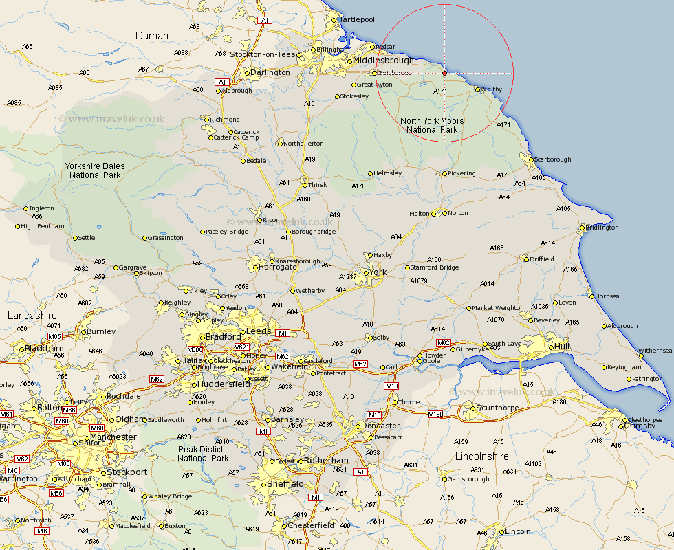
Yorkshire Map Showing Location of Hinderwell
Population: 2013
District: Scarborough
Easting: 479797 Northing: 516049
Latitude: 54.53 Longitude: -0.77
 = Hinderwell
District: Scarborough
Easting: 479797 Northing: 516049
Latitude: 54.53 Longitude: -0.77
= Hinderwell
This Hinderwell map below is supplied by Google. Use the tools in the top left corner to zoom into street level or zoom out for a road map, you may also need to zoom in to see Hinderwell on the map. Click and drag the map to move around. If the map fails to load try and refresh your browser or zoom in or out (+ or -).
Update - it seems Google no longer allow people to use their maps for free! This Hinderwell map sometimes loads and sometimes gives a error. I am working on a solution.
Closest 30 Towns or Cities to Hinderwell (Population over 500)
Loftus 7.75km Whitby 10.2km Sleights 11.29km Brotton 11.37km Skelton 14.1km Skelton-in-Cleveland 14.1km Saltburn 15.04km Saltburn by the Sea 15.04km Saltburn-by-the-Sea 15.04km Hawsker 15.9km Marske-by-the-Sea 17.47km Marske by the Sea 17.47km Marske 17.47km Guisborough 18.28km Fylingdales 19.88km Redcar 20.6km Eston 21.58km Great Ayton 23.95km Ingleby 24.23km Middlesborough 25km Middlebrough 25km Middlesbrough 25km South Bank in Normanby 25km South Bank on Tees 25km South Bank 25km South Bank-on-Tees 25km Grangetown 25.33km Great Broughton 27.44km Stokesley 28.94km Seamer 29.99km