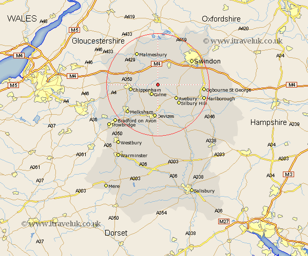
Wiltshire Map Showing Location of Hillmarton
Population: 745
District: North Wiltshire
Easting: 402314 Northing: 174246
Latitude: 51.47 Longitude: -1.97
 = Hillmarton
District: North Wiltshire
Easting: 402314 Northing: 174246
Latitude: 51.47 Longitude: -1.97
= Hillmarton
This Hillmarton map below is supplied by Google. Use the tools in the top left corner to zoom into street level or zoom out for a road map, you may also need to zoom in to see Hillmarton on the map. Click and drag the map to move around. If the map fails to load try and refresh your browser or zoom in or out (+ or -).
Update - it seems Google no longer allow people to use their maps for free! This Hillmarton map sometimes loads and sometimes gives a error. I am working on a solution.
Closest 30 Towns or Cities to Hillmarton (Population over 500)
Calne 4.37km Bremhill 4.98km Lyneham 5.56km Cherhill 5.68km Christian Malford 6.86km Broad Town 7.17km Wooton Bassett 8.73km Wootton Bassett 8.73km Sutton Benger 8.89km Brinkworth 9.33km Broad Hinton 9.42km Great Somerford 10.14km Somerford 10.14km Chippenham 10.56km Roundway 11.18km Bishops Cannings 11.18km Lacock 12.77km Laycock 12.77km Stanton 12.81km Stanton Saint Quintin 12.81km Stanton St Quintin 12.81km Stanton St. Quintin 12.81km Devizes 13.03km Lea 13.1km Lydiard Millicent 13.1km Rowde 13.77km Wroughton 13.86km Corsham 14.35km Hullavington 14.69km Purton 14.7km