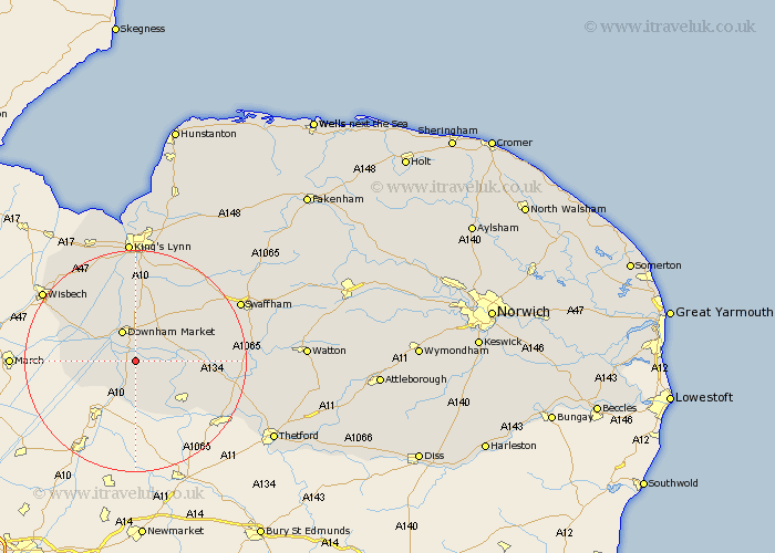
Norfolk Map Showing Location of Hilgay
Population: 1174
District: King's Lynn and West Norfolk
Easting: 562706 Northing: 297429
Latitude: 52.55 Longitude: 0.4
 = Hilgay
District: King's Lynn and West Norfolk
Easting: 562706 Northing: 297429
Latitude: 52.55 Longitude: 0.4
= Hilgay
This Hilgay map below is supplied by Google. Use the tools in the top left corner to zoom into street level or zoom out for a road map, you may also need to zoom in to see Hilgay on the map. Click and drag the map to move around. If the map fails to load try and refresh your browser or zoom in or out (+ or -).
Update - it seems Google no longer allow people to use their maps for free! This Hilgay map sometimes loads and sometimes gives a error. I am working on a solution.
Closest 30 Towns or Cities to Hilgay (Population over 500)
Southery 3.87km Denver 4.34km Downham Market 6km Wereham 6.74km Stoke Ferry 8.1km Welney 10.8km Methwold 10.8km Runcton 11.12km Runcton Holme 11.12km Feltwell 11.68km Shouldham 12.46km Watlington 13.03km Outwell 13.48km Northwold 13.52km Upwell 13.58km Marham 15.04km Hockwold 15.06km Hockwold cum Wilton 15.06km Emneth 16.38km North Runcton 16.83km Mundford 17.8km Tilney St Lawrence 17.99km Tilney Saint Lawrence 17.99km Tilney St. Lawrence 17.99km Tilney 17.99km Weeting 18.4km Middleton 19.08km Narborough 19.31km Walsoken 19.56km Swaffham 21.17km