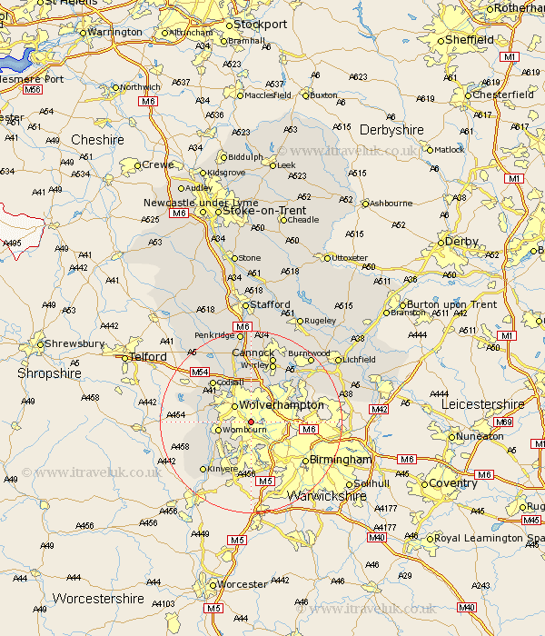
Staffordshire Map Showing Location of Coseley
District: Dudley
Easting: 394350 Northing: 294727
Latitude: 52.55 Longitude: -2.08
 = Coseley
Easting: 394350 Northing: 294727
Latitude: 52.55 Longitude: -2.08
= Coseley
This Coseley map below is supplied by Google. Use the tools in the top left corner to zoom into street level or zoom out for a road map, you may also need to zoom in to see Coseley on the map. Click and drag the map to move around. If the map fails to load try and refresh your browser or zoom in or out (+ or -).
Update - it seems Google no longer allow people to use their maps for free! This Coseley map sometimes loads and sometimes gives a error. I am working on a solution.
Closest 30 Towns or Cities to Coseley (Population over 500)
Bilston 2.17km Wolverhampton 5.01km Dudley 5.56km Himley 5.84km West Bromwich 6.74km Wombourn 7.01km Wombourne 7.01km Walsall 7.91km Wallsall 7.91km Smethwick 7.92km Lower Penn 8.1km Rushall 10.59km Scisdon 11.42km Seisdon 11.42km Pelsall 11.67km Codsall 12.16km Aldridge 12.56km Pattingham 12.93km Shareshill 12.98km Brownhills 13.73km Wyrley 14.02km Great Wyrley 14.02km Bobbington 14.03km Kinvere 15.06km Cannock 15.49km Brewood 15.85km Norton Canes 16.78km Huntington 17.02km Hammerwich 17.5km Hednesford 17.6km