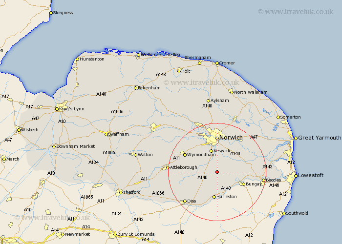
Norfolk Map Showing Location of Hempnall
Population: 1310
District: South Norfolk
Easting: 623960 Northing: 294281
Latitude: 52.5 Longitude: 1.3
 = Hempnall
District: South Norfolk
Easting: 623960 Northing: 294281
Latitude: 52.5 Longitude: 1.3
= Hempnall
This Hempnall map below is supplied by Google. Use the tools in the top left corner to zoom into street level or zoom out for a road map, you may also need to zoom in to see Hempnall on the map. Click and drag the map to move around. If the map fails to load try and refresh your browser or zoom in or out (+ or -).
Update - it seems Google no longer allow people to use their maps for free! This Hempnall map sometimes loads and sometimes gives a error. I am working on a solution.
Closest 30 Towns or Cities to Hempnall (Population over 500)
Saxlingham 4.34km Saxlingham Thorpe 4.34km Long Stratton 4.88km Stoke Holy Cross 5.56km Poringland 6.51km Forncett Saint Mary 6.77km Forncett St. Mary 6.77km Forncett 6.77km Forncett St Mary 6.77km Mulbarton 7.16km Brooke 7.92km Swardeston 8.15km Ashwellthorpe 8.72km Moulton 8.72km Moulton St. Michael 8.72km Moulton St Michael 8.72km Moulton Saint Michael 8.72km Great Moulton 8.72km Earsham 9.66km Ditchingham 9.76km Pulham 9.86km Thurton 10.6km Harleston 11.18km Loddon 11.43km Bunwell 11.44km Cringleford 11.62km Ellingham 12.96km Hethersett 13.63km Chedgrave 14.03km Wymondham 14.45km