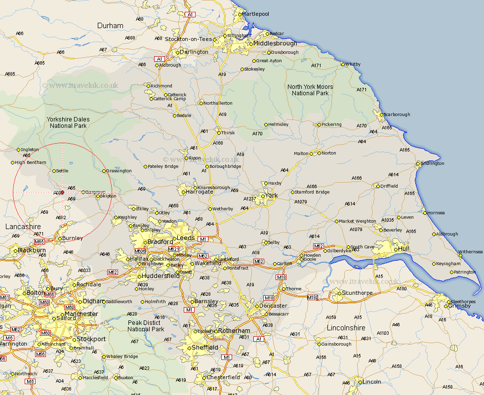
Yorkshire Map Showing Location of Hellifield
Population: 1063
District: Craven
Easting: 385793 Northing: 454181
Latitude: 53.98 Longitude: -2.22
 = Hellifield
District: Craven
Easting: 385793 Northing: 454181
Latitude: 53.98 Longitude: -2.22
= Hellifield
This Hellifield map below is supplied by Google. Use the tools in the top left corner to zoom into street level or zoom out for a road map, you may also need to zoom in to see Hellifield on the map. Click and drag the map to move around. If the map fails to load try and refresh your browser or zoom in or out (+ or -).
Update - it seems Google no longer allow people to use their maps for free! This Hellifield map sometimes loads and sometimes gives a error. I am working on a solution.
Closest 30 Towns or Cities to Hellifield (Population over 500)
Long Preston 2.86km Gargrave 7.63km Giggleswick 8.1km Settle 9.83km Earby 9.88km Carlton 12.24km Carleton 12.24km Skipton 13.21km Threshfield 15.02km Cononley 15.04km Embsay 15.37km Clapham 16.94km Glusburn 16.94km Grassington 17.84km Sutton-in-Craven 18.89km Steeton 20.7km Silsden 20.73km Addingham 22.51km Keighley 22.57km High Bentham 22.6km Bentham 22.6km Ingleton 24.69km Haworth 25.46km Burton in Lonsdale 26.56km Oxenhope 26.85km Ilkley 27.2km Cullingworth 27.81km Cornholme 28.14km Heptonstall 29.07km Hebden Bridge 29.07km