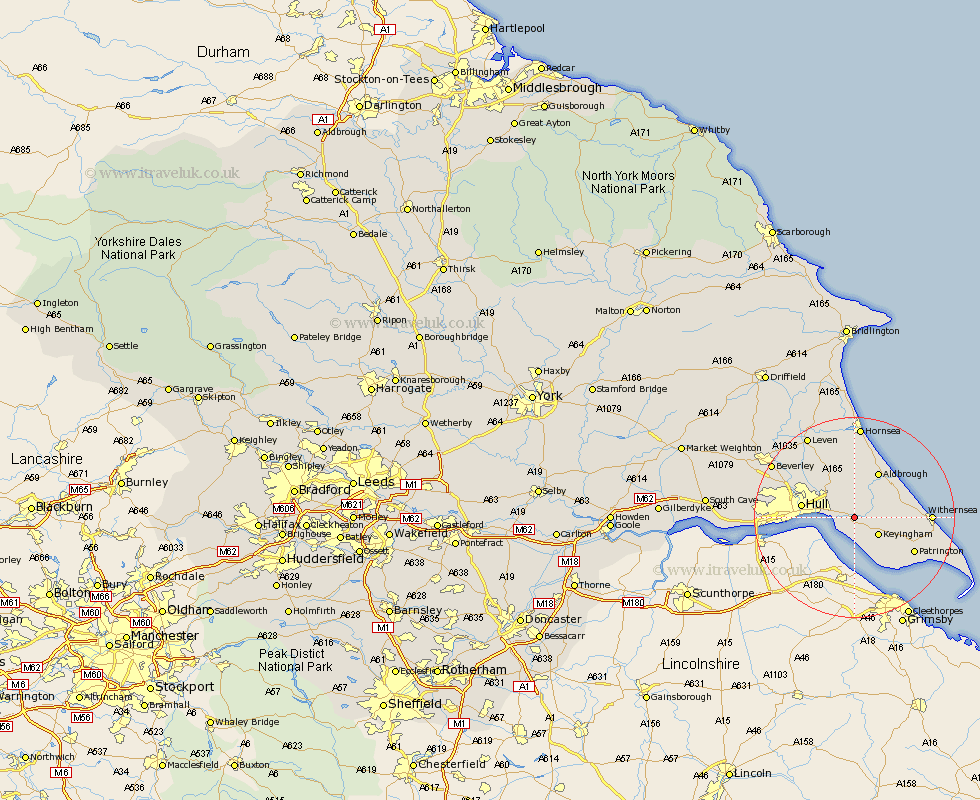
Yorkshire Map Showing Location of Hedon
Population: 6482
Area Size (ha): 154
Easting: 519823 Northing: 427879
Latitude: 53.73 Longitude: -0.18
 = Hedon
Area Size (ha): 154
Easting: 519823 Northing: 427879
Latitude: 53.73 Longitude: -0.18
= Hedon
This Hedon map below is supplied by Google. Use the tools in the top left corner to zoom into street level or zoom out for a road map, you may also need to zoom in to see Hedon on the map. Click and drag the map to move around. If the map fails to load try and refresh your browser or zoom in or out (+ or -).
Update - it seems Google no longer allow people to use their maps for free! This Hedon map sometimes loads and sometimes gives a error. I am working on a solution.
Closest 30 Towns or Cities to Hedon (Population over 500)
Thorngumbold 2.15km Thorngumbald 2.15km Burstwick 3.29km Paull 3.77km Preston 3.87km Sproatley 5.56km Keyingham 5.74km Burton Pidsea 6.62km Ottringham 7.55km Roos 8.96km Kingston upon Hull 10.04km Hull 10.2km Skirlaugh Station 10.26km Aldbrough 10.26km Sutton-on-Hull 10.38km Sutton on Hull 10.38km Sutton 10.38km Walkington 12.76km Wawne 13.23km Patrington 13.24km Withernsea 14.25km Cottingham 14.27km Woodmansey 16.08km Anlaby 16.44km Hessle 16.55km Barton 17.37km Barton upon Humber 17.37km Kirk Ella 17.64km Willerby 17.92km Hornsea 18.57km