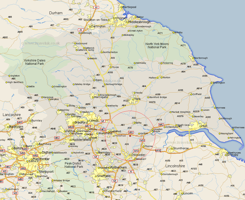
Yorkshire Map Showing Location of Great Heck
Population: 209
District: Selby
Easting: 458334 Northing: 421147
Latitude: 53.68 Longitude: -1.12
 = Great Heck
District: Selby
Easting: 458334 Northing: 421147
Latitude: 53.68 Longitude: -1.12
= Great Heck
This Great Heck map below is supplied by Google. Use the tools in the top left corner to zoom into street level or zoom out for a road map, you may also need to zoom in to see Great Heck on the map. Click and drag the map to move around. If the map fails to load try and refresh your browser or zoom in or out (+ or -).
Update - it seems Google no longer allow people to use their maps for free! This Great Heck map sometimes loads and sometimes gives a error. I am working on a solution.
Closest 30 Towns or Cities to Great Heck (Population over 500)
Hensall 2.16km Whitley 2.19km Pollington 3.78km Snaith 5.49km Carlton 6.84km Norton 7.09km Askern 7.49km Knottingley 7.9km Knottingly 7.9km Campsall 8.61km Darrington 8.97km Brayton 9.53km Sutton 9.83km Hambleton 9.84km Barlow 9.92km Brotherton 10.55km Monk Fryston 10.67km Stainforth 10.77km Rawcliffe 10.98km Fishlake 11.37km North Elmsall 11.49km Selby 11.6km Pontefract 12.07km Hemingbrough 12.77km Cliffe Common 12.77km Cliff Common Station 12.77km South Milford 12.77km Upton 13.25km Moorends 13.29km Barnby Dun 13.38km