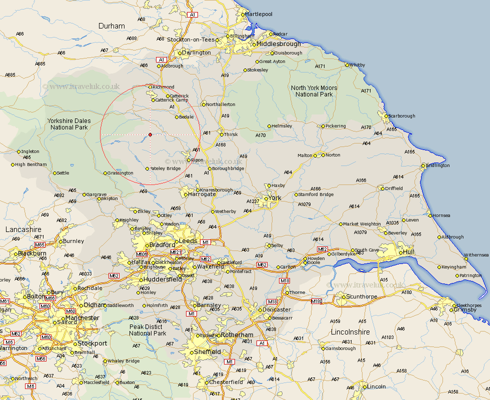
Yorkshire Map Showing Location of Healey
Population: 110
District: Harrogate
Easting: 417387 Northing: 480158
Latitude: 54.22 Longitude: -1.73
 = Healey
District: Harrogate
Easting: 417387 Northing: 480158
Latitude: 54.22 Longitude: -1.73
= Healey
This Healey map below is supplied by Google. Use the tools in the top left corner to zoom into street level or zoom out for a road map, you may also need to zoom in to see Healey on the map. Click and drag the map to move around. If the map fails to load try and refresh your browser or zoom in or out (+ or -).
Update - it seems Google no longer allow people to use their maps for free! This Healey map sometimes loads and sometimes gives a error. I am working on a solution.
Closest 30 Towns or Cities to Healey (Population over 500)
Masham 5.42km Grewelthorpe 6.57km Kirkby Malzeard 7.76km Middleham 9.17km Leyburn 10.73km Tanfield 11km West Tanfield 11km Crakehall 11.97km Bedale 12.24km Bewerley 14.99km Bradley 15.17km Catterick 17.89km Ripon 17.96km Dacre 18.57km Richmond 20.38km Scorton 20.45km Darley 20.51km Bishop Monkton 21.23km Monkton 21.23km Birstwith 21.76km Dishforth 21.9km Burton Leonard 22.57km Topcliffe 23.07km Grassington 23.31km Northallerton 23.4km North Cowton 23.6km Hampsthwaite 23.88km Gilling 24.11km Killinghall 25.25km Brompton 25.34km