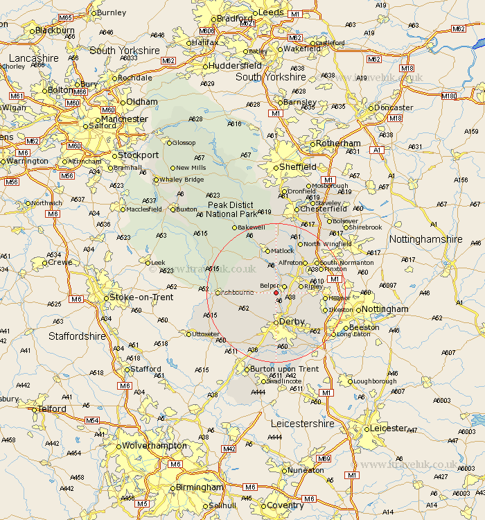
Derbyshire Map Showing Location of Hazelwood
Population: 310
District: Amber Valley
Easting: 433538 Northing: 346750
Latitude: 53.02 Longitude: -1.5
 = Hazelwood
District: Amber Valley
Easting: 433538 Northing: 346750
Latitude: 53.02 Longitude: -1.5
= Hazelwood
This Hazelwood map below is supplied by Google. Use the tools in the top left corner to zoom into street level or zoom out for a road map, you may also need to zoom in to see Hazelwood on the map. Click and drag the map to move around. If the map fails to load try and refresh your browser or zoom in or out (+ or -).
Update - it seems Google no longer allow people to use their maps for free! This Hazelwood map sometimes loads and sometimes gives a error. I am working on a solution.
Closest 30 Towns or Cities to Hazelwood (Population over 500)
Belper 2.89km Holbrook 2.9km Heage 3.82km Ambergate 3.87km Ambergate Junction Station 3.87km Kilburn 4.83km Kilbourn 4.83km Kilbourne 4.83km Duffield 5.67km Denby 6.69km Ripley 6.94km Quarndon 7.42km Crich 7.49km Little Eaton 8.14km Wirksworth 8.64km South Wingfield 8.64km Wingfield 8.64km Smalley 8.65km Swanwick 8.7km Codnor 9.11km Derby 9.27km Breadsall 9.86km Cromford 10.28km Kirk Langley 10.29km Brailsford 10.77km Matlock Bath 10.84km Alfreton 12.11km Shipley Gate Station 12.41km Bonsall 12.44km Brassington 12.46km