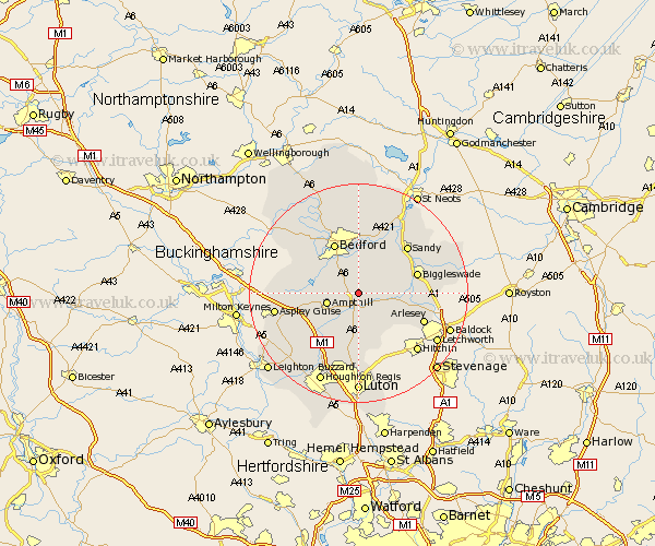
Bedfordshire Map Showing Location of Haynes
Population: 1122
District: Mid Bedfordshire
Easting: 508561 Northing: 240297
Latitude: 52.05 Longitude: -0.42
 = Haynes
District: Mid Bedfordshire
Easting: 508561 Northing: 240297
Latitude: 52.05 Longitude: -0.42
= Haynes
This Haynes map below is supplied by Google. Use the tools in the top left corner to zoom into street level or zoom out for a road map, you may also need to zoom in to see Haynes on the map. Click and drag the map to move around. If the map fails to load try and refresh your browser or zoom in or out (+ or -).
Update - it seems Google no longer allow people to use their maps for free! This Haynes map sometimes loads and sometimes gives a error. I am working on a solution.
Closest 30 Towns or Cities to Haynes (Population over 500)
Wilhamstead 2.18km Willshamstead 2.18km Wilstead 2.18km Wilshamstead 2.18km Houghton Conquest 3.42km Clophill 3.7km Campton and Chicksands 3.89km Maulden 4.35km Silsoe 5.56km Ampthill 5.99km Shefford 5.99km Flitton 6.01km Elstow 6.53km Gravenhurst 6.53km Kempston 7.19km Flitwick 7.19km Cople 7.76km Pulloxhill 7.76km Wootton 7.77km Meppershall 7.96km Southill 7.98km Clifton 8.19km Shillington 8.71km Northill 8.81km Stondon 8.82km Marston Moretaine 9.12km Lidlington 9.31km Henlow 9.84km Willington 9.87km Bedford 10.22km