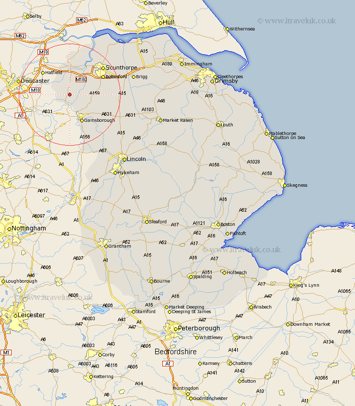
Lincolnshire Map Showing Location of Haxey
Population: 4359
Easting: 477409 Northing: 399170
Latitude: 53.48 Longitude: -0.83
 = Haxey
Easting: 477409 Northing: 399170
Latitude: 53.48 Longitude: -0.83
= Haxey
This Haxey map below is supplied by Google. Use the tools in the top left corner to zoom into street level or zoom out for a road map, you may also need to zoom in to see Haxey on the map. Click and drag the map to move around. If the map fails to load try and refresh your browser or zoom in or out (+ or -).
Update - it seems Google no longer allow people to use their maps for free! This Haxey map sometimes loads and sometimes gives a error. I am working on a solution.
Closest 30 Towns or Cities to Haxey (Population over 500)
Epworth 3.87km Owston 4.41km Owston Ferry 4.41km Belton 7.5km West Butterwick 9.24km Blyton 9.52km Morton 9.84km Burringham 10.79km Scotter 11.03km Gainsborough 11.96km Gainesborough 11.96km Scotton 12.27km Gunness 12.94km Gunhouse 12.94km Crowle 13.02km Messingham 13.34km Lea 14.09km Bottesford 14.21km Keadby 14.56km Kirton 15.55km Kirton in Lindsey 15.55km Scunthorpe 16.45km Flixborough 17.84km Willingham 17.85km Marton 19.68km Hibaldstow 19.93km Scawby 20.6km Broughton 20.9km Burton 21.02km Burton upon Stather 21.02km