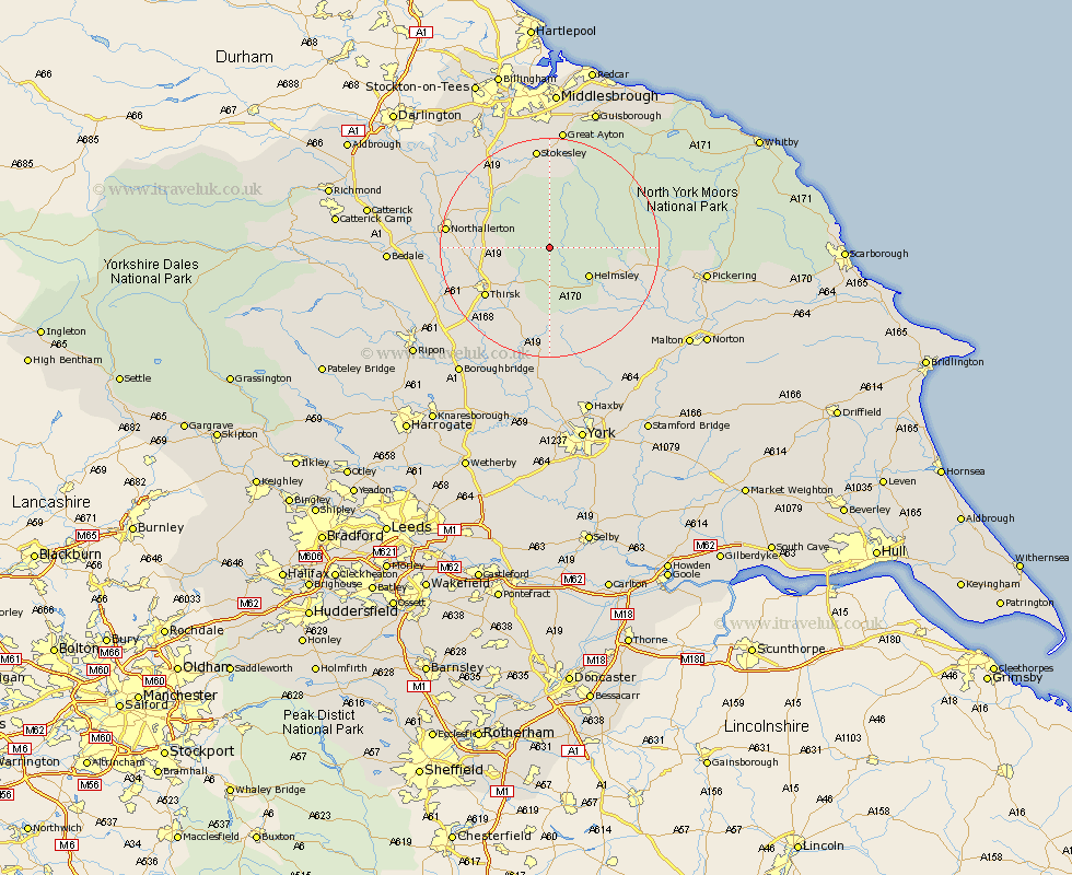
Yorkshire Map Showing Location of Hawnby
Population: 223
District: Ryedale
Easting: 454225 Northing: 489713
Latitude: 54.3 Longitude: -1.17
 = Hawnby
District: Ryedale
Easting: 454225 Northing: 489713
Latitude: 54.3 Longitude: -1.17
= Hawnby
This Hawnby map below is supplied by Google. Use the tools in the top left corner to zoom into street level or zoom out for a road map, you may also need to zoom in to see Hawnby on the map. Click and drag the map to move around. If the map fails to load try and refresh your browser or zoom in or out (+ or -).
Update - it seems Google no longer allow people to use their maps for free! This Hawnby map sometimes loads and sometimes gives a error. I am working on a solution.
Closest 30 Towns or Cities to Hawnby (Population over 500)
Helmsley 8.55km Osmotherley 11.39km Ampleforth 11.58km Nawton 14.03km Whorlton 14.06km Thirsk 14.25km Ingleby 15.44km Kirkby Moorside 15.59km Kirby Moorside 15.59km Great Broughton 16.68km Brompton 17.14km Northallerton 17.69km Stokesley 18.66km Seamer 18.82km Topcliffe 19.15km Raskelf 19.31km Middleton 19.63km Middleton upon Leven 19.63km Easingwold 20.5km Great Ayton 22.34km Stillington 22.48km Slingsby 23.29km Dishforth 23.29km Terrington 24.18km Huby 24.19km Alne 24.48km Tollerton 26.15km Sheriff Hutton 26.42km Pickering 26.56km Guisborough 27.02km