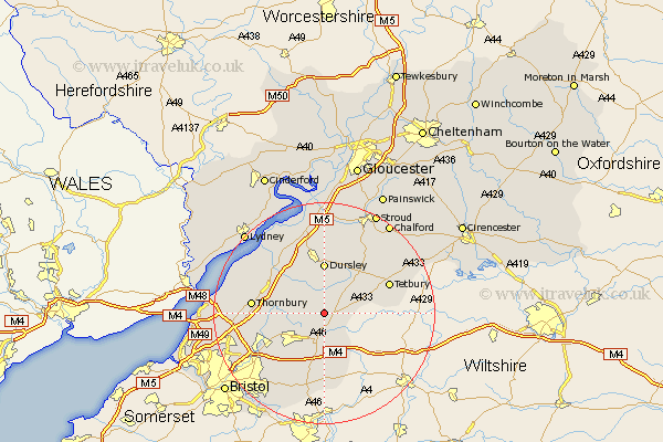
Gloucestershire Map Showing Location of Hawkesbury
Population: 1235
Easting: 376907 Northing: 187265
Latitude: 51.58 Longitude: -2.33
 = Hawkesbury
Easting: 376907 Northing: 187265
Latitude: 51.58 Longitude: -2.33
= Hawkesbury
This Hawkesbury map below is supplied by Google. Use the tools in the top left corner to zoom into street level or zoom out for a road map, you may also need to zoom in to see Hawkesbury on the map. Click and drag the map to move around. If the map fails to load try and refresh your browser or zoom in or out (+ or -).
Update - it seems Google no longer allow people to use their maps for free! This Hawkesbury map sometimes loads and sometimes gives a error. I am working on a solution.
Closest 30 Towns or Cities to Hawkesbury (Population over 500)
Wickwar 3.46km Wotton-under-Edge 5.68km Wotton under Edge 5.68km Chipping Sodbury 6.55km Charfield 6.85km Rangeworthy 8.27km Cromhall 8.87km Dursley 9.27km Falfield 9.79km North Nibley 9.9km Iron Acton 9.93km Westerleigh 10.13km Tytherington 10.53km Uley 11.18km Frampton Cotterell 11.77km Stone 11.82km Winterbourne 12.08km Tetbury 12.78km Thornbury 12.8km Cam 13.03km Horsley 13.09km Berkeley 13.73km Alveston 13.94km Nailsworth 14.43km Mangotsfield 14.45km Coaley 14.83km Marshfield 15km Slimbridge 15.23km Siston 15.27km Avening 16km