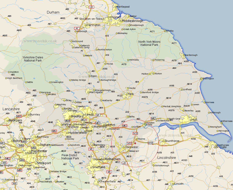
Yorkshire Map Showing Location of Hatfield
Population: 13798
Area Size (ha): 343
District: Doncaster
Easting: 467324 Northing: 408295
Latitude: 53.57 Longitude: -0.98
 = Hatfield
Area Size (ha): 343
District: Doncaster
Easting: 467324 Northing: 408295
Latitude: 53.57 Longitude: -0.98
= Hatfield
This Hatfield map below is supplied by Google. Use the tools in the top left corner to zoom into street level or zoom out for a road map, you may also need to zoom in to see Hatfield on the map. Click and drag the map to move around. If the map fails to load try and refresh your browser or zoom in or out (+ or -).
Update - it seems Google no longer allow people to use their maps for free! This Hatfield map sometimes loads and sometimes gives a error. I am working on a solution.
Closest 30 Towns or Cities to Hatfield (Population over 500)
Moorends 3.76km Thorne 3.86km Fishlake 4.31km Stainforth 4.96km Fleckney 4.97km Barnby Dun 5.5km Barnby Don 5.5km Armthorpe 5.76km Kirk Sandall 6.86km Auckley 7.74km Cantley 8.63km Bessacarr 9.02km Doncaster 9.56km Finningley 11.12km Askern 11.35km Bentley 11.62km Pollington 12.4km Rossington 12.41km Sutton 12.66km Rawcliffe 13.15km Carcroft 13.21km Adwick le Street 13.21km Snaith 13.38km Campsall 14.32km Austerfield 14.87km Carlton 14.98km Norton 15.13km Warmsworth 15.16km Wadworth 15.66km Wadsworth 15.66km