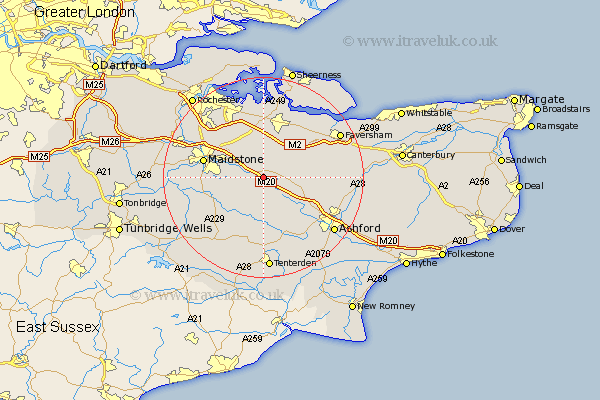
Kent Map Showing Location of Harrietsham
Population: 1750
District: Maidstone
Easting: 587309 Northing: 151713
Latitude: 51.23 Longitude: 0.68
 = Harrietsham
District: Maidstone
Easting: 587309 Northing: 151713
Latitude: 51.23 Longitude: 0.68
= Harrietsham
This Harrietsham map below is supplied by Google. Use the tools in the top left corner to zoom into street level or zoom out for a road map, you may also need to zoom in to see Harrietsham on the map. Click and drag the map to move around. If the map fails to load try and refresh your browser or zoom in or out (+ or -).
Update - it seems Google no longer allow people to use their maps for free! This Harrietsham map sometimes loads and sometimes gives a error. I am working on a solution.
Closest 30 Towns or Cities to Harrietsham (Population over 500)
Lenham 2.32km Hollingbourne 2.97km Ulcombe 4.37km Leeds 4.64km Egerton 6.56km Doddington 6.89km Langley 6.96km Pluckley 7.24km Bredgar 7.51km Sutton Valence 7.89km Detling 8.91km Bearsted 8.93km Charing 8.93km Borden 9.35km Stockbury 9.56km Tunstall 9.56km Lynsted 10.17km Linsted 10.17km Headcorn 10.36km Boughton Monchelsea 10.61km Boxley 10.82km Bapchild 10.94km Smarden 11.12km Loose 11.6km Linton 11.75km Sittingbourne 12.05km Maidstone 12.18km Newington 13.03km Bobbing 13.03km Hothfield 13.12km