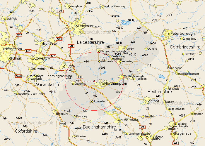
Northamptonshire Map Showing Location of Harlestone
Population: 420
District: Daventry
Easting: 470508 Northing: 263717
Latitude: 52.27 Longitude: -0.97
 = Harlestone
District: Daventry
Easting: 470508 Northing: 263717
Latitude: 52.27 Longitude: -0.97
= Harlestone
This Harlestone map below is supplied by Google. Use the tools in the top left corner to zoom into street level or zoom out for a road map, you may also need to zoom in to see Harlestone on the map. Click and drag the map to move around. If the map fails to load try and refresh your browser or zoom in or out (+ or -).
Update - it seems Google no longer allow people to use their maps for free! This Harlestone map sometimes loads and sometimes gives a error. I am working on a solution.
Closest 30 Towns or Cities to Harlestone (Population over 500)
Harpole 3.88km Boughton 4.9km East Haddon 5.03km Kislingbury 5.56km Spratton 5.67km Northampton 5.97km Pitsford 6.77km Flore 6.78km Brixworth 7.17km Guilsborough 7.74km Long Buckby 7.75km Moulton 8.15km Bugbrooke 8.16km Weedon 8.79km Weedon Beck 8.79km Hardingstone 9.34km Milton 9.88km West Haddon 10.05km Collingtree 10.33km Overstone 10.37km Billing 10.38km Great Billing 10.38km Houghton 10.65km Great Houghton 10.65km Wootton 10.87km Gayton 11.12km Blisworth 11.35km Pattishall 11.63km Walgrave 12.61km Welton 12.61km