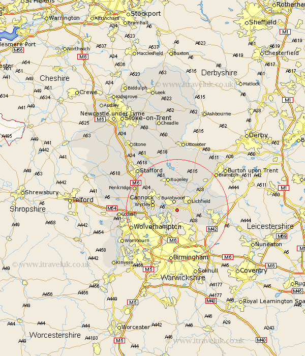
Staffordshire Map Showing Location of Hammerwich
Population: 3781
District: Lichfield
Easting: 407892 Northing: 305852
Latitude: 52.65 Longitude: -1.88
 = Hammerwich
District: Lichfield
Easting: 407892 Northing: 305852
Latitude: 52.65 Longitude: -1.88
= Hammerwich
This Hammerwich map below is supplied by Google. Use the tools in the top left corner to zoom into street level or zoom out for a road map, you may also need to zoom in to see Hammerwich on the map. Click and drag the map to move around. If the map fails to load try and refresh your browser or zoom in or out (+ or -).
Update - it seems Google no longer allow people to use their maps for free! This Hammerwich map sometimes loads and sometimes gives a error. I am working on a solution.
Closest 30 Towns or Cities to Hammerwich (Population over 500)
Shenstone 3.85km Brownhills 3.85km Burntwood 3.87km Lichfield 5.82km Pelsall 5.83km Aldridge 6km Norton Canes 6.73km Rushall 7.15km Longdon 7.42km Whittington 8.69km Great Wyrley 9.25km Wyrley 9.25km Armitage 9.26km Hednesford 9.63km Walsall 9.64km Wallsall 9.64km Cannock 9.72km Huntington 11.54km Elford 11.83km Alrewas 12.54km Drayton Bassett 12.55km Fazeley 12.91km Yoxall 13km Colton 13.17km Rugeley 13.41km Wigginton 13.49km Shareshill 13.62km Tamworth 14km Edingale 14.58km Bilston 15.46km