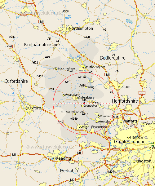
Buckinghamshire Map Showing Location of Halton
Population: 892
District: Aylesbury Vale
Easting: 487366 Northing: 210213
Latitude: 51.78 Longitude: -0.73
 = Halton
District: Aylesbury Vale
Easting: 487366 Northing: 210213
Latitude: 51.78 Longitude: -0.73
= Halton
This Halton map below is supplied by Google. Use the tools in the top left corner to zoom into street level or zoom out for a road map, you may also need to zoom in to see Halton on the map. Click and drag the map to move around. If the map fails to load try and refresh your browser or zoom in or out (+ or -).
Update - it seems Google no longer allow people to use their maps for free! This Halton map sometimes loads and sometimes gives a error. I am working on a solution.
Closest 30 Towns or Cities to Halton (Population over 500)
Weston Turville 1.15km Wendover 2.18km Aston Clinton 2.18km Buckland 2.18km Stoke Mandeville 3.44km Ellesborough 5.06km Aylesbury 5.9km Marsworth 5.9km Cheddington 7.21km Kimble 7.21km Great Kimble 7.21km Lee 8.17km Stone 8.24km Pitstone 8.84km Prestwood 9.26km Princes Risborough 9.37km Great Missenden 9.54km Ivinghoe 9.76km Longwick 9.77km Wing 11.18km Slapton 11.54km Bledlow 11.79km Cuddington 12.61km Edlesborough 12.7km Haddenham 12.75km Chesham 13.04km Whitechurch 13.07km Whitchurch 13.07km Little Missenden 13.75km Waddesdon 13.78km