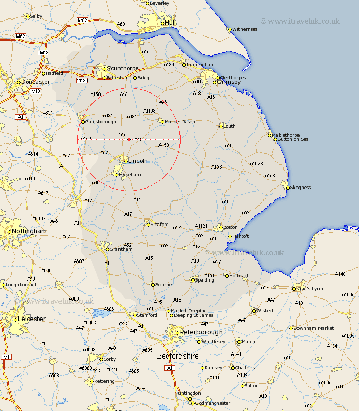
Lincolnshire Map Showing Location of Hackthorn
Population: 180
District: West Lindsey
Easting: 498804 Northing: 381030
Latitude: 53.32 Longitude: -0.52
 = Hackthorn
District: West Lindsey
Easting: 498804 Northing: 381030
Latitude: 53.32 Longitude: -0.52
= Hackthorn
This Hackthorn map below is supplied by Google. Use the tools in the top left corner to zoom into street level or zoom out for a road map, you may also need to zoom in to see Hackthorn on the map. Click and drag the map to move around. If the map fails to load try and refresh your browser or zoom in or out (+ or -).
Update - it seems Google no longer allow people to use their maps for free! This Hackthorn map sometimes loads and sometimes gives a error. I am working on a solution.
Closest 30 Towns or Cities to Hackthorn (Population over 500)
Welton 2.89km Dunholme 3.81km Dunholm 3.81km Scrampton 3.81km Scampton 3.81km Ingham 4.8km Scothern 5.78km Nettleham 5.98km Sudbrooke 7.11km Lincoln 9.34km Saxilby 10.46km Reepham 10.8km Fiskerton 10.8km Cherry Willingham 10.94km Skellingthorpe 11.41km Washingborough 11.61km Willingham 11.67km Holton 12.32km Middle Rasen 12.41km Heighington 13.4km Market Rasen 14.25km Marton 14.39km Waddingham 14.82km Wragby 14.87km Torksey 14.87km Branston 15.2km Hykeham 15.48km North Hykeham 15.48km Potter Hanworth 16.26km Lea 16.46km