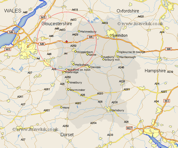
Wiltshire Map Showing Location of Grittleton
Population: 459
District: North Wiltshire
Easting: 386123 Northing: 179825
Latitude: 51.52 Longitude: -2.2
 = Grittleton
District: North Wiltshire
Easting: 386123 Northing: 179825
Latitude: 51.52 Longitude: -2.2
= Grittleton
This Grittleton map below is supplied by Google. Use the tools in the top left corner to zoom into street level or zoom out for a road map, you may also need to zoom in to see Grittleton on the map. Click and drag the map to move around. If the map fails to load try and refresh your browser or zoom in or out (+ or -).
Update - it seems Google no longer allow people to use their maps for free! This Grittleton map sometimes loads and sometimes gives a error. I am working on a solution.
Closest 30 Towns or Cities to Grittleton (Population over 500)
Yatton Keynell 3.71km Hullavington 3.92km Stanton St. Quintin 4.61km Stanton 4.61km Stanton Saint Quintin 4.61km Stanton St Quintin 4.61km Nettleton 4.97km Luckington 5.07km Sherston 5.68km Sutton Benger 8.29km Chippenham 9.4km Somerford 9.41km Great Somerford 9.41km Corsham 9.56km Colerne 10.36km Christian Malford 10.55km Lea 10.77km Malmesbury 10.95km Malmsbury 10.95km Box 11.65km Bremhill 13.72km Lacock 14.2km Laycock 14.2km Whitley 14.82km Atworth 14.83km Brinkworth 15.44km Crudwell 15.91km Lyneham 16.15km Calne 16.67km Broughton Gifford 16.72km