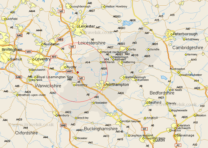
Northamptonshire Map Showing Location of Crick
Population: 1308
Area Size (ha): 76
District: Daventry
Easting: 459048 Northing: 270975
Latitude: 52.33 Longitude: -1.13
 = Crick
Area Size (ha): 76
District: Daventry
Easting: 459048 Northing: 270975
Latitude: 52.33 Longitude: -1.13
= Crick
This Crick map below is supplied by Google. Use the tools in the top left corner to zoom into street level or zoom out for a road map, you may also need to zoom in to see Crick on the map. Click and drag the map to move around. If the map fails to load try and refresh your browser or zoom in or out (+ or -).
Update - it seems Google no longer allow people to use their maps for free! This Crick map sometimes loads and sometimes gives a error. I am working on a solution.
Closest 30 Towns or Cities to Crick (Population over 500)
Kilsby 2.27km Yelvertoft 3.88km West Haddon 4.53km Barby 4.89km Welton 5.67km Long Buckby 5.85km Braunston 7.17km East Haddon 8.75km Guilsborough 9.06km Daventry 9.54km Welford 10.86km Naseby 11.6km Flore 12.48km Spratton 12.6km Badby 13.4km Weedon Beck 13.74km Weedon 13.74km Harpole 15.09km Clipston 15.52km Brixworth 15.96km Boughton 16.81km Bugbrooke 16.81km Kislingbury 17.22km Pitsford 17.39km Northampton 19.36km Byfield 19.74km Moulton 20.05km Pattishall 20.15km Upper Boddington 21.15km Boddington 21.15km