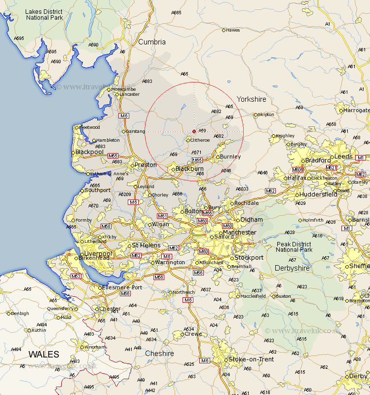
Lancashire Map Showing Location of Grindleton
Population: 723
District: Ribble Valley
Easting: 375909 Northing: 444955
Latitude: 53.9 Longitude: -2.37
 = Grindleton
District: Ribble Valley
Easting: 375909 Northing: 444955
Latitude: 53.9 Longitude: -2.37
= Grindleton
This Grindleton map below is supplied by Google. Use the tools in the top left corner to zoom into street level or zoom out for a road map, you may also need to zoom in to see Grindleton on the map. Click and drag the map to move around. If the map fails to load try and refresh your browser or zoom in or out (+ or -).
Update - it seems Google no longer allow people to use their maps for free! This Grindleton map sometimes loads and sometimes gives a error. I am working on a solution.
Closest 30 Towns or Cities to Grindleton (Population over 500)
Grindleton 0km Chatburn 2.16km Waddington 3.77km Clitheroe 4.3km Gisburn 7.52km Sabden 9.52km Whalley 9.83km Barrowford 11.3km Barnoldswick 12.15km Langho 12.39km Brierfield 12.74km Simonstone 13.02km Salterforth 13.1km Altham 13.16km Nelson 13.21km Great Harwood 13.39km Hapton 13.39km Padiham 13.39km Foulridge 13.62km Burnley 14.15km Colne 14.24km Chipping 14.32km Kelbrook 14.32km Accrington 14.86km Clayton-le-Moors 14.86km Clayton le Moor 14.86km Clayton le Moors 14.86km Wilpshire 15.07km Ribchester 15.59km Longridge 16.03km