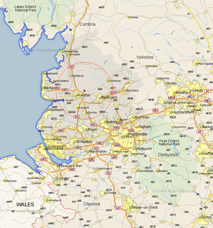
Lancashire Map Showing Location of Grimsargh
Population: 2164
District: Preston
Easting: 358291 Northing: 433953
Latitude: 53.8 Longitude: -2.63
 = Grimsargh
District: Preston
Easting: 358291 Northing: 433953
Latitude: 53.8 Longitude: -2.63
= Grimsargh
This Grimsargh map below is supplied by Google. Use the tools in the top left corner to zoom into street level or zoom out for a road map, you may also need to zoom in to see Grimsargh on the map. Click and drag the map to move around. If the map fails to load try and refresh your browser or zoom in or out (+ or -).
Update - it seems Google no longer allow people to use their maps for free! This Grimsargh map sometimes loads and sometimes gives a error. I am working on a solution.
Closest 30 Towns or Cities to Grimsargh (Population over 500)
Goosnargh 2.87km Samlesbury 3.86km Longridge 4.95km Ribchester 6.57km Preston 6.61km Barton 6.82km Broughton 6.82km Mellor 7.54km Woodplumpton 7.66km Penwortham 8.61km Claughton on Brock 9.22km Claughton-on-Brock 9.22km Claughton 9.22km Chipping 9.83km Hoghton 9.83km Wilpshire 10.03km Farrington 10.25km Farington 10.25km Blackburn 11.32km Catterall 11.47km Hutton 11.48km Lea 11.56km Lea Town 11.56km Langho 12.04km Withnell 12.4km Inskip 13.64km Leyland 13.7km Brinscall 13.7km Garstang 14.15km Whalley 14.35km