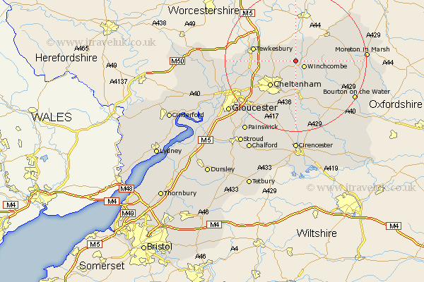
Gloucestershire Map Showing Location of Gretton
Population: 485
District: Tewkesbury
Easting: 401145 Northing: 229850
Latitude: 51.97 Longitude: -1.98
 = Gretton
District: Tewkesbury
Easting: 401145 Northing: 229850
Latitude: 51.97 Longitude: -1.98
= Gretton
This Gretton map below is supplied by Google. Use the tools in the top left corner to zoom into street level or zoom out for a road map, you may also need to zoom in to see Gretton on the map. Click and drag the map to move around. If the map fails to load try and refresh your browser or zoom in or out (+ or -).
Update - it seems Google no longer allow people to use their maps for free! This Gretton map sometimes loads and sometimes gives a error. I am working on a solution.
Closest 30 Towns or Cities to Gretton (Population over 500)
Alderton 2.17km Winchcombe 2.94km Winchcomb 2.94km Dumbleton 5.68km Southam 5.89km Bishops Cleeve 6.01km Swindon 8.82km Ashchurch 9.85km Cheltenham 10.1km Andoversford 11.35km Tewkesbury 12km Charlton Kings 12.5km Leckhampton 13.06km Staverton 13.74km Shurdington 14.4km Deerhurst 14.84km Withington 15.01km Chipping Campden 15.57km Churchdown 15.62km Blockley 16.92km Innsworth 17.51km Stow on the Wold 17.53km Stow-on-the-Wold 17.53km Brockworth 18.07km Northleach 18.73km Hucclecote 18.88km Chedworth 19.09km Ebrington 19.46km Bourton on the Water 19.49km Bourton-on-the-Water 19.49km