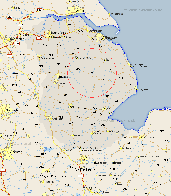
Lincolnshire Map Showing Location of Great Sturton
Population: 41
District: East Lindsey
Easting: 522258 Northing: 376010
Latitude: 53.27 Longitude: -0.17
 = Great Sturton
District: East Lindsey
Easting: 522258 Northing: 376010
Latitude: 53.27 Longitude: -0.17
= Great Sturton
This Great Sturton map below is supplied by Google. Use the tools in the top left corner to zoom into street level or zoom out for a road map, you may also need to zoom in to see Great Sturton on the map. Click and drag the map to move around. If the map fails to load try and refresh your browser or zoom in or out (+ or -).
Update - it seems Google no longer allow people to use their maps for free! This Great Sturton map sometimes loads and sometimes gives a error. I am working on a solution.
Closest 30 Towns or Cities to Great Sturton (Population over 500)
Horncastle 8.13km Banovallum 8.13km Wragby 9.06km Mareham-on-the-Hill 11.42km Mareham 11.42km Mareham on the Hill 11.42km Bardney 11.43km Holton 11.68km Woodhall Spa 13.4km Louth 14.93km Legbourne 16.19km Coningsby 16.68km Market Rasen 17.05km Cherry Willingham 17.67km Fiskerton 18.13km Reepham 18.13km binbrook 18.56km Middle Rasen 18.56km Tattershall 18.67km Sudbrooke 18.84km Scothern 18.93km Potter Hanworth 19.05km Grimoldby 19.99km Nocton 20.02km Spilsby 20.03km Martin 20.04km Dunston 20.25km Dunholme 20.28km Dunholm 20.28km Washingborough 20.72km