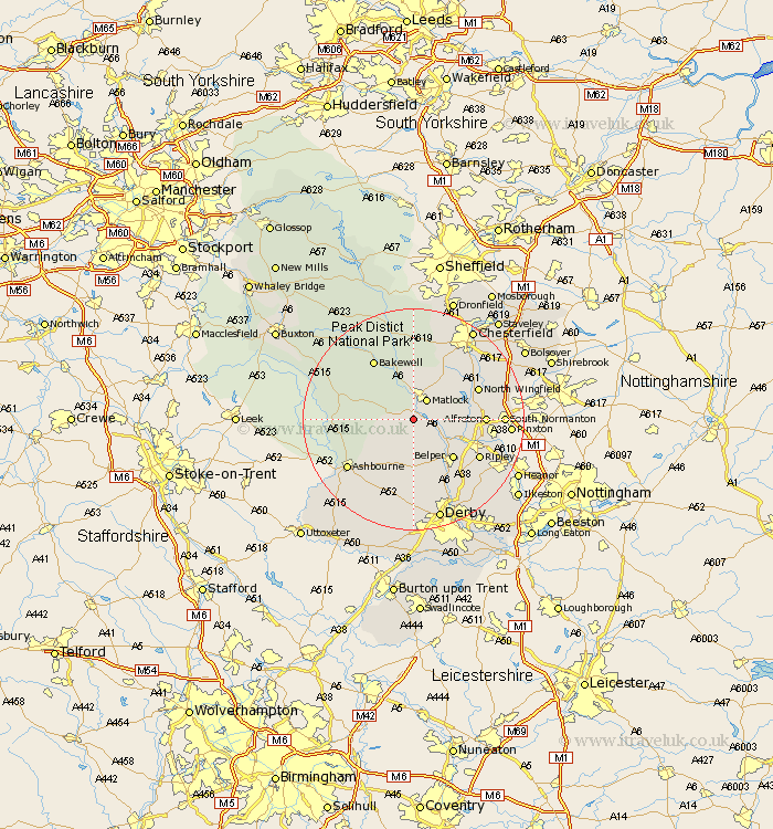
Derbyshire Map Showing Location of Cromford
Population: 2455
Area Size (ha): 89
District: Derbyshire Dales
Easting: 429010 Northing: 355987
Latitude: 53.1 Longitude: -1.57
 = Cromford
Area Size (ha): 89
District: Derbyshire Dales
Easting: 429010 Northing: 355987
Latitude: 53.1 Longitude: -1.57
= Cromford
This Cromford map below is supplied by Google. Use the tools in the top left corner to zoom into street level or zoom out for a road map, you may also need to zoom in to see Cromford on the map. Click and drag the map to move around. If the map fails to load try and refresh your browser or zoom in or out (+ or -).
Update - it seems Google no longer allow people to use their maps for free! This Cromford map sometimes loads and sometimes gives a error. I am working on a solution.
Closest 30 Towns or Cities to Cromford (Population over 500)
Matlock Bath 1.41km Wirksworth 1.86km Bonsall 2.16km Matlock 4.32km Tansley 4.98km Brassington 5.87km Crich 5.87km Winster 6.68km Darley Dale 7.74km Ambergate 7.87km Ambergate Junction Station 7.87km Wingfield 9.1km South Wingfield 9.1km Ashover 9.27km Belper 9.98km Stretton 10.67km Heage 10.76km Shirland 11.28km Clay Cross 11.45km Youlgreave 11.58km Swanwick 11.73km Alfreton 12.24km Middleton 12.45km North Wingfield 12.5km Morton 12.78km Bakewell 12.96km Holbrook 12.97km Ripley 13.38km Wingerworth 14.24km Kilbourn 14.25km