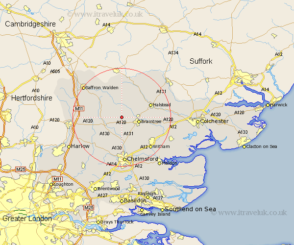
Essex Map Showing Location of Great Saling
Population: 261
District: Braintree
Easting: 569686 Northing: 225307
Latitude: 51.9 Longitude: 0.47
 = Great Saling
District: Braintree
Easting: 569686 Northing: 225307
Latitude: 51.9 Longitude: 0.47
= Great Saling
This Great Saling map below is supplied by Google. Use the tools in the top left corner to zoom into street level or zoom out for a road map, you may also need to zoom in to see Great Saling on the map. Click and drag the map to move around. If the map fails to load try and refresh your browser or zoom in or out (+ or -).
Update - it seems Google no longer allow people to use their maps for free! This Great Saling map sometimes loads and sometimes gives a error. I am working on a solution.
Closest 30 Towns or Cities to Great Saling (Population over 500)
Great Bardfield 3.88km Panfield 3.9km Stebbing 3.9km Shalford 4.35km Wethersfield 5.68km Braintree 7.11km Dunmow 7.11km Great Dunmow 7.11km Barnston 7.2km Felsted 7.2km Finchingfield 7.5km Black Notley 7.98km Gosfield 8.82km Rayne 8.82km Thaxted 8.83km Great Easton 9.15km Great Leighs 9.88km Great Sampford 10.33km Stisted 10.46km Cressing 10.71km Sible Hedingham 10.91km Bradwell 10.94km Little Waltham 11.18km Broxted 11.58km Toppesfield 12.02km Terling 12.51km Halstead 12.71km Castle Hedingham 13.01km Great Waltham 13.03km High Easter 13.71km