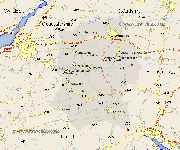
Wiltshire Map Showing Location of Great Bedwyn
Population: 1347
District: Kennet
Easting: 427843 Northing: 163202
Latitude: 51.37 Longitude: -1.6
 = Great Bedwyn
District: Kennet
Easting: 427843 Northing: 163202
Latitude: 51.37 Longitude: -1.6
= Great Bedwyn
This Great Bedwyn map below is supplied by Google. Use the tools in the top left corner to zoom into street level or zoom out for a road map, you may also need to zoom in to see Great Bedwyn on the map. Click and drag the map to move around. If the map fails to load try and refresh your browser or zoom in or out (+ or -).
Update - it seems Google no longer allow people to use their maps for free! This Great Bedwyn map sometimes loads and sometimes gives a error. I am working on a solution.
Closest 30 Towns or Cities to Great Bedwyn (Population over 500)
Shalbourne 3.94km Shalbourn 3.94km Grafton 4.38km Burbage 5.94km Ramsbury 7.41km Marlborough 9.82km Collingbourne Ducis 9.9km Pewsey 11.06km Aldbourne 11.18km Baydon 12.97km Tidworth 15.54km North Tidworth 15.54km Chiseldon 16.88km Upavon 17.68km Bishopstone 18.67km Ludgershall 18.86km Lugershall 18.86km Enford 19.02km Netheravon 19.56km Wanborough 19.78km Broad Hinton 20.73km Wroughton 20.97km Figheldean 20.99km Bulford 21.86km Broad Town 22.58km Durrington 23.46km Bishops Cannings 24.3km Urchfont 24.32km Swindon 24.65km Cherhill 24.91km