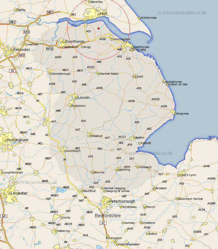
Lincolnshire Map Showing Location of Goxhill
Population: 1994
Easting: 510104 Northing: 420229
Latitude: 53.67 Longitude: -0.33
 = Goxhill
Easting: 510104 Northing: 420229
Latitude: 53.67 Longitude: -0.33
= Goxhill
This Goxhill map below is supplied by Google. Use the tools in the top left corner to zoom into street level or zoom out for a road map, you may also need to zoom in to see Goxhill on the map. Click and drag the map to move around. If the map fails to load try and refresh your browser or zoom in or out (+ or -).
Update - it seems Google no longer allow people to use their maps for free! This Goxhill map sometimes loads and sometimes gives a error. I am working on a solution.
Closest 30 Towns or Cities to Goxhill (Population over 500)
Goxhill 0km East Halton 3.29km Barrow on Humber 3.78km Barrow upon Humber 3.78km Barrow-on-Humber 3.78km Barrow-upon-Humber 3.78km Barrow 3.78km New Holland 4.3km Ulceby 5.56km Habrough 9.23km Immingham 10.69km South Ferriby 10.98km Barnetby le Wold 11.96km Barnetby 11.96km Keelby 12.4km South Killingholme 12.93km Stallingborough 13.56km Wrawby 14.18km Healing 15.64km Brigg 16.32km Appleby 16.35km Winteringham 17.66km Winterton 17.67km Broughton 18.11km Laceby 18.47km Scawby 19.85km Great Coates 19.89km Caistor 20.42km Nettleton 20.42km North Kelsey 21.12km